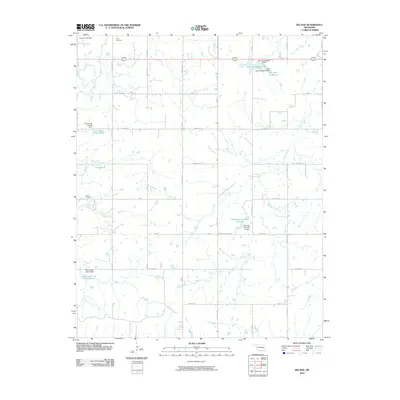
2010 Map of Beland
USGS Topo · Published 2010About this map
Doyle Cemetery and Brown Cemetery anchor this rural Muskogee County landscape, providing essential landmarks for genealogists and local historians. The area is defined by a sophisticated water management network, featuring a series of numbered reservoirs and dams that regulate the flow of Pecan Creek and Cloud Creek. These include the structured Taft Lake Number 3 and Taft Lake Number 2 systems in the northeast, alongside several Cane Creek flood control sites.
Find a feature on this map
39 named features on this map. Tap any name to fly to it.
Don’t see what you’re looking for? This feature index may not catch every label — zoom into the map to look around manually.
Map Details
Editions of this 2010 Beland Map
This is the sole edition of this map. No revisions or reprints were ever made.
Other maps of this area

1896 · Okmulgee
USGS Topo · 1:125,000

1900 · Okmulgee
USGS Topo · 1:125,000

1901 · Muscogee
USGS Topo · 1:125,000

1905 · Muscogee
USGS Topo · 1:125,000

1946 · Fort Smith
USGS Topo · 1:250,000

1948 · Keefeton
USGS Topo · 1:62,500

1948 · Wagoner
USGS Topo · 1:62,500

1950 · Keefeton
USGS Topo · 1:62,500

1950 · Wagoner
USGS Topo · 1:62,500

1965 · Fort Smith
USGS Topo · 1:250,000