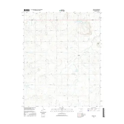
2016 Map of Beland
USGS Topo · Published 2016About this map
The community of Taft and the smaller settlement of Beland anchor this landscape in western Muskogee County, where a network of section-line roads connects isolated farmsteads and rural landmarks. Local history is preserved in the locations of the Doyle Cem to the north and the Brown Cem near the western edge of the quadrangle. The terrain is defined by a series of drainages, including Cloud Creek and Pecan Cr, which feed into several engineered water bodies. Among these is the Taft Institution Lake, suggesting the local importance of state facilities, alongside others like Taft Lake Number 1. From the height of Baucum Hill in the east to the banks of Anderson Cr in the south, the map illustrates a rural Oklahoma district maintaining its traditional agricultural grid into the twenty-first century.
Find a feature on this map
40 named features on this map. Tap any name to fly to it.
Don’t see what you’re looking for? This feature index may not catch every label — zoom into the map to look around manually.
Map Details
Editions of this 2016 Beland Map
This is the sole edition of this map. No revisions or reprints were ever made.
Other maps of this area

1896 · Okmulgee
USGS Topo · 1:125,000

1900 · Okmulgee
USGS Topo · 1:125,000

1901 · Muscogee
USGS Topo · 1:125,000

1905 · Muscogee
USGS Topo · 1:125,000

1946 · Fort Smith
USGS Topo · 1:250,000

1948 · Keefeton
USGS Topo · 1:62,500

1948 · Wagoner
USGS Topo · 1:62,500

1950 · Keefeton
USGS Topo · 1:62,500

1950 · Wagoner
USGS Topo · 1:62,500

1965 · Fort Smith
USGS Topo · 1:250,000