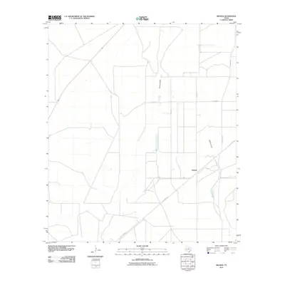
2010 Map of Belding
USGS Topo · Published 2010About this map
Belding stands as the primary namesake settlement in this arid West Texas landscape, situated at a junction where the modern transport network meets historic routes. The map illustrates a transition in local infrastructure, showing the Old Alpine Hwy cutting diagonally across the terrain, a path that reflects the region's earlier ranching and transit history. This historic thoroughfare is shadowed by contemporary developments like Ranch Rd 2037 and L-2057. The natural geography is defined by seasonal watercourses, with the drainage patterns of Acebuche Draw and Belding Draw winding through the territory. These features, along with localized names like Pecan Rd and Williams Rd, suggest a landscape historically shaped by a mix of agriculture and the vast open-range logistics of Pecos County.
Find a feature on this map
10 named features on this map. Tap any name to fly to it.
Don’t see what you’re looking for? This feature index may not catch every label — zoom into the map to look around manually.
Map Details
Editions of this 2010 Belding Map
This is the sole edition of this map. No revisions or reprints were ever made.
Other maps of this area

1921 · Fort Stockton
USGS Topo · 1:62,500

1923 · Fort Stockton
USGS Topo · 1:62,500

1923 · Sierra Madera
USGS Topo · 1:62,500

1928 · Comanche Spring
USGS Topo · 1:125,000

1929 · Hovey
USGS Topo · 1:125,000

1954 · Fort Stockton
USGS Topo · 1:250,000

1958 · Fort Stockton
USGS Topo · 1:250,000

1970 · Belding SW
USGS Topo · 1:24,000

1970 · Fort Stockton West
USGS Topo · 1:24,000

1970 · Twelvemile Mesa
USGS Topo · 1:24,000