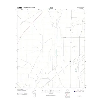
2012 Map of Belding
USGS Topo · Published 2012About this map
The settlement of Belding serves as the focal point of this arid West Texas landscape, positioned where the Old Alpine Hwy intersects with a network of rural routes. The terrain is characterized by the ephemeral drainage of Belding Draw, which cuts through the central and northeastern portions of the quadrangle. Agricultural and ranching interests are evident in the structured grid of local roads, including Pecan Rd and Williams Rd, which define the property boundaries and movement across the Pecos County desert. The mapping reflects a region defined by its infrastructure for transport and water management, with numerous small reservoirs or catchments scattered near the draw to support local livestock or farming in this parched environment. The presence of Srangus Rd and other named corridors illustrates the persistent importance of these transit lines for local connectivity in a sparsely populated region.
Find a feature on this map
7 named features on this map. Tap any name to fly to it.
Don’t see what you’re looking for? This feature index may not catch every label — zoom into the map to look around manually.
Map Details
Editions of this 2012 Belding Map
This is the sole edition of this map. No revisions or reprints were ever made.
Other maps of this area

1921 · Fort Stockton
USGS Topo · 1:62,500

1923 · Fort Stockton
USGS Topo · 1:62,500

1923 · Sierra Madera
USGS Topo · 1:62,500

1928 · Comanche Spring
USGS Topo · 1:125,000

1929 · Hovey
USGS Topo · 1:125,000

1954 · Fort Stockton
USGS Topo · 1:250,000

1958 · Fort Stockton
USGS Topo · 1:250,000

1970 · Belding SW
USGS Topo · 1:24,000

1970 · Fort Stockton West
USGS Topo · 1:24,000

1970 · Twelvemile Mesa
USGS Topo · 1:24,000