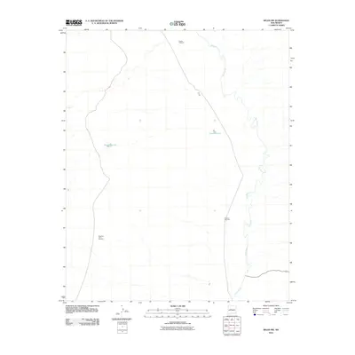
2010 Map of Belen NW
USGS Topo · Published 2010About this map
Rio Puerco meanders through this Valencia County landscape, carving a prominent natural corridor that has long influenced the geography of the New Mexico interior. The distribution of ranching infrastructure across these flats points to a land defined by water management and livestock, where isolated landmarks like Pueblo Windmill and Shearing Corral Windmill serve as essential orientation points for local land use. These features, along with Popalito Windmill, suggest a working landscape where movement is dictated by the availability of water in an otherwise arid environment. Small catchments such as Metate Reservoir and Target Reservoir further illustrate the human effort to capture and sustain life in the high desert during the early twenty-first century.
Find a feature on this map
6 named features on this map. Tap any name to fly to it.
Don’t see what you’re looking for? This feature index may not catch every label — zoom into the map to look around manually.
Map Details
Editions of this 2010 Belen NW Map
This is the sole edition of this map. No revisions or reprints were ever made.
Other maps of this area

1917 · Cerro Verde
USGS Topo · 1:125,000

1952 · Dalies
USGS Topo · 1:24,000

1952 · Belen SW
USGS Topo · 1:24,000

1952 · Belen
USGS Topo · 1:24,000

1952 · Veguita
USGS Topo · 1:24,000

1952 · Belen NW
USGS Topo · 1:24,000

1952 · Rio Puerco
USGS Topo · 1:24,000

1954 · South Garcia SE
USGS Topo · 1:24,000

1954 · Socorro
USGS Topo · 1:250,000

1956 · South Garcia
USGS Topo · 1:62,500