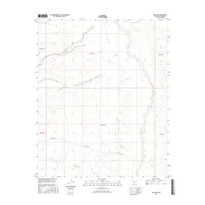
2017 Map of Belen NW
USGS Topo · Published 2017About this map
The Rio Puerco meanders through the eastern edge of this Valencia County landscape, defining the hydrology of a high-desert environment in the years before 2017. This section of New Mexico is characterized by its drainage systems and water management infrastructure, most notably the Arroyo Monte Belen which cuts across the southern quadrants. Several named catchment points are distributed across the terrain, including the Escondido Reservoir, Gabaldon Reservoir, and Guzman Reservoir, indicating the vital role of water storage in this arid region. Transportation is limited to a few secondary routes, with Marble Quarry Rd serving as a primary corridor through the southern reaches, likely reflecting the area's local industrial or ranching history. The map also identifies the Metate Reservoir and Target Reservoir, providing a clear record of man-made modifications to the natural basins.
Find a feature on this map
14 named features on this map. Tap any name to fly to it.
Don’t see what you’re looking for? This feature index may not catch every label — zoom into the map to look around manually.
Map Details
Editions of this 2017 Belen NW Map
This is the sole edition of this map. No revisions or reprints were ever made.
Other maps of this area

1917 · Cerro Verde
USGS Topo · 1:125,000

1952 · Dalies
USGS Topo · 1:24,000

1952 · Belen SW
USGS Topo · 1:24,000

1952 · Belen
USGS Topo · 1:24,000

1952 · Veguita
USGS Topo · 1:24,000

1952 · Belen NW
USGS Topo · 1:24,000

1952 · Rio Puerco
USGS Topo · 1:24,000

1954 · South Garcia SE
USGS Topo · 1:24,000

1954 · Socorro
USGS Topo · 1:250,000

1956 · South Garcia
USGS Topo · 1:62,500