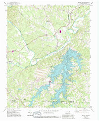
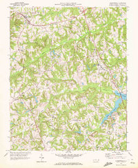
1971 Map of Belews Lake
USGS Topo · Published 1994About this map
The Dan River and Belews Lake define the geography of this North Carolina landscape, where the convergence of three counties—Stokes, Rockingham, and Forsyth—meets near industrial and agricultural hubs. The settlement of Pine Hall serves as a focal point along the Norfolk and Western railroad line, supported by nearby Claypits and a quarry. The impoundment of Belews Creek and West Belews Creek has created a significant reservoir, complete with a Powerplant and Substation infrastructure that transformed the local economy during the mid-20th century.
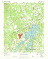
Find a feature on this map
36 named features on this map. Tap any name to fly to it.
Don’t see what you’re looking for? This feature index may not catch every label — zoom into the map to look around manually.
Map Details
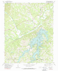
Editions of this 1971 Belews Lake Map
3 editions found
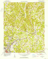
Other maps of this area
1951 · Walkertown
USGS Topo · 1:24,000

1953 · Winston-Salem
USGS Topo · 1:250,000

1953 · Greensboro
USGS Topo · 1:250,000

1954 · Greensboro
USGS Topo · 1:250,000

1955 · Winston-Salem
USGS Topo · 1:250,000

1962 · Winston-Salem
USGS Topo · 1:250,000

1962 · Greensboro
USGS Topo · 1:250,000

1966 · Greensboro
USGS Topo · 1:250,000
1969 · Summerfield
USGS Topo · 1:24,000
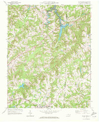
1969 · Belews Creek
USGS Topo · 1:24,000