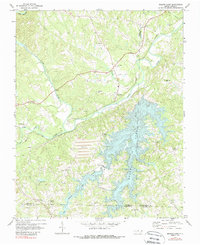
1971 Map of Belews Lake
USGS Topo · Published 1988About this map
Belews Lake dominates the southeastern quadrant of this map, its finger-like coves reaching into the surrounding hills of the Piedmont. The landscape is defined by the sharp transition between the deep waters of the lake and the agricultural and industrial activity along the Dan River. Near the center, a large Tailings Pond and Powerplant reflect the energy infrastructure of the early 1970s, while the Norfolk and Western and Southern railroads provide the logistical backbone for the region.
Find a feature on this map
37 named features on this map. Tap any name to fly to it.
Don’t see what you’re looking for? This feature index may not catch every label — zoom into the map to look around manually.
Map Details
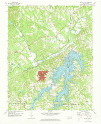
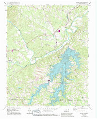
Editions of this 1971 Belews Lake Map
3 editions found
Other maps of this area

1951 · Walkertown
USGS Topo · 1:24,000

1953 · Winston-Salem
USGS Topo · 1:250,000

1953 · Greensboro
USGS Topo · 1:250,000

1954 · Greensboro
USGS Topo · 1:250,000

1955 · Winston-Salem
USGS Topo · 1:250,000

1962 · Winston-Salem
USGS Topo · 1:250,000

1962 · Greensboro
USGS Topo · 1:250,000

1966 · Greensboro
USGS Topo · 1:250,000

1969 · Summerfield
USGS Topo · 1:24,000

1969 · Belews Creek
USGS Topo · 1:24,000