Loading...
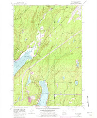
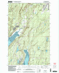
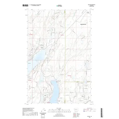
Loading map...1953 Map of Belfair
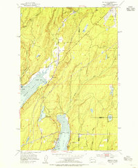
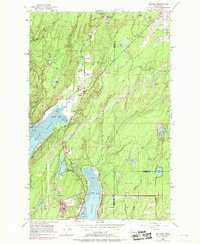
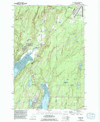
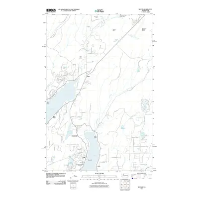
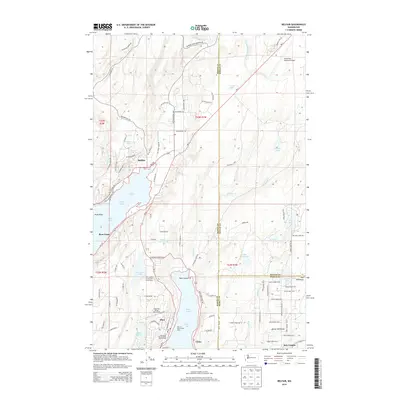
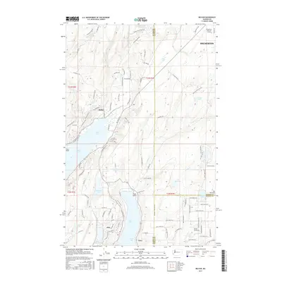
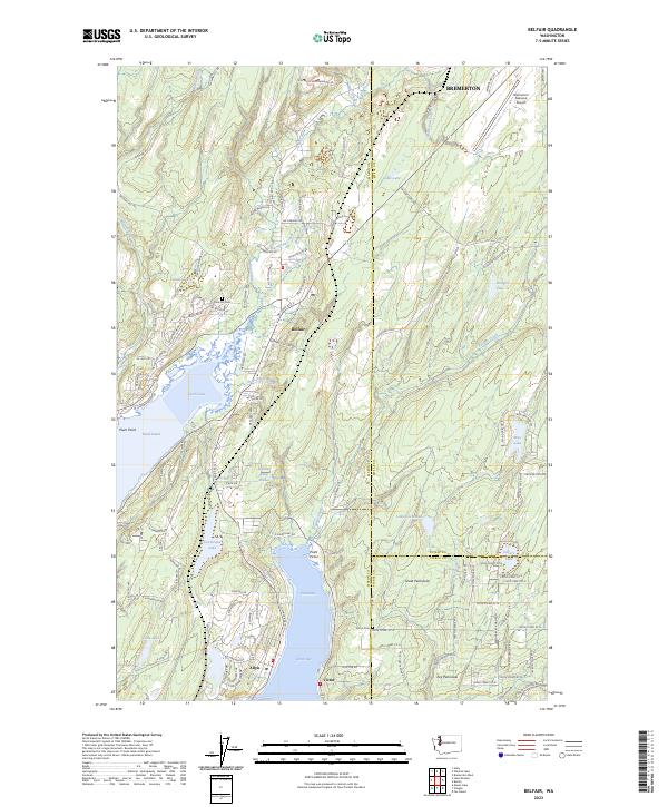
USGS Topo · Published 1981About this map
Lynch Cove and the northern reach of Hood Canal dominate this mid-century portrait of Mason County, where the tidal flats of the Mud basin meet the mouth of the Union River. The settlement of Belfair serves as a local hub, situated at the intersection of the U S Navy Yard Highway and the Northern Pacific railroad line. To the south, the community of Allyn overlooks North Bay, while the St Albans-Tacoma Girl Scout Camp sits along the shores of Devereaux Lake.
Find a feature on this map
39 named features on this map. Tap any name to fly to it.
Don’t see what you’re looking for? This feature index may not catch every label — zoom into the map to look around manually.
Map Details
Date Portrayed1953
Date Published1981
PublisherU.S. Geological Survey
Map TypeTopographic
Scale1:24,000
Physical Dimensions22 x 26.8 inches
Editions of this 1953 Belfair Map
4 editions found
Historical Maps of Bremerton Through Time
7 maps found
Featured Locations
Source Details
SourceU.S. Geological Survey
CopyrightPublic Domain