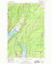
1953 Map of Belfair
USGS Topo · Published 1969About this map
Hood Canal defines the geography of this mid-century coastal study, where the narrow reach of Lynch Cove meets the mouth of the Union River. The local infrastructure is shaped by the Northern Pacific railroad line, which skirts the shoreline and serves the communities of Belfair and Victor. At the head of the canal, Belfair State Park and the St Albans-Tacoma Girl Scout Camp highlight the area's role in regional recreation and youth organizations during the early 1950s.
Find a feature on this map
42 named features on this map. Tap any name to fly to it.
Don’t see what you’re looking for? This feature index may not catch every label — zoom into the map to look around manually.
Map Details
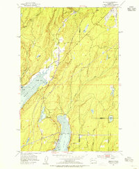
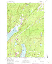
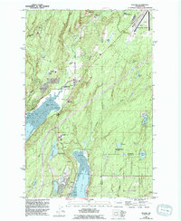
Editions of this 1953 Belfair Map
4 editions found
Other maps of this area

1936 · Point Misery
USGS Topo · 1:62,500

1937 · Port Orchard
USGS Topo · 1:62,500

1938 · Allyn
USGS Topo · 1:62,500

1940 · Point Misery
USGS Topo · 1:62,500

1942 · Gig Harbor
USGS Topo · 1:62,500

1943 · Gig Harbor
USGS Topo · 1:62,500

1953 · Burley
USGS Topo · 1:24,000

1953 · Sylvan
USGS Topo · 1:24,000

1953 · Vaughn
USGS Topo · 1:24,000

1953 · Bremerton West
USGS Topo · 1:24,000