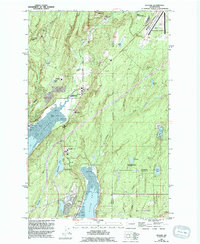
1953 Map of Belfair
USGS Topo · Published 1994About this map
The northern tip of Hood Canal serves as the focal point for this landscape, where the waters of Lynch Cove meet the mouth of the Union River. This area is characterized by its strategic naval and transportation infrastructure, most notably the U.S. Navy Railroad that cuts through the terrain near Belfair Siding and Bear Creek Station. The settlement of Belfair occupies the central crossroads, supported by several educational institutions including Belfair Sch and the North Mason High Sch. To the south, the community of Allyn sits along the shores of North Bay on the Key Peninsula. Recreational and conservation interests are well-represented by the Union River Wildlife Area, Belfair State Park, and the St Albans-Tacoma Girl Scout Camp near Devereaux Lake, highlighting the region's balance between industrial utility and natural preservation.
Find a feature on this map
48 named features on this map. Tap any name to fly to it.
Don’t see what you’re looking for? This feature index may not catch every label — zoom into the map to look around manually.
Map Details
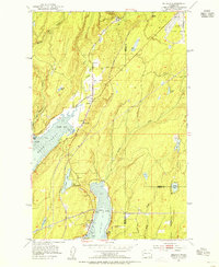
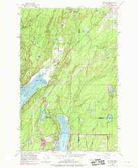
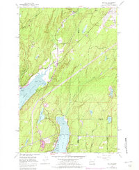
Editions of this 1953 Belfair Map
4 editions found
Other maps of this area

1936 · Point Misery
USGS Topo · 1:62,500

1937 · Port Orchard
USGS Topo · 1:62,500

1938 · Allyn
USGS Topo · 1:62,500

1940 · Point Misery
USGS Topo · 1:62,500

1942 · Gig Harbor
USGS Topo · 1:62,500

1943 · Gig Harbor
USGS Topo · 1:62,500

1953 · Burley
USGS Topo · 1:24,000

1953 · Sylvan
USGS Topo · 1:24,000

1953 · Vaughn
USGS Topo · 1:24,000

1953 · Bremerton West
USGS Topo · 1:24,000