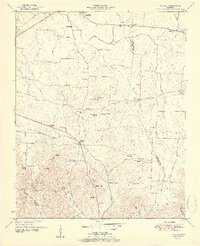
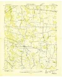
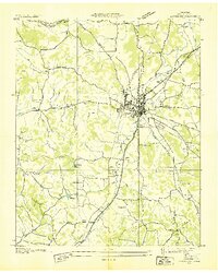
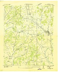
1951 Map of Belfast
USGS Topo · Published 1951About this map
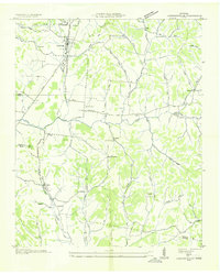
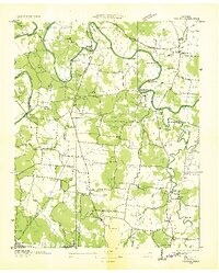
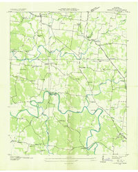
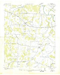
Belfast sits at the heart of this mid-century topographic study, where the Nashville Chattanooga and St Louis railway bisects the landscape alongside State Route 50. The region is characterized by a dense network of rural infrastructure, including numerous family cemeteries such as Bills Cem and Erwin Cem, and social centers like the Cedar Grove School and Rocky Point Church. The geography shifts from the relatively open drainage of East Rock Creek in the north toward the complex ridges of the south.
Find a feature on this map
63 named features on this map. Tap any name to fly to it.
Don’t see what you’re looking for? This feature index may not catch every label — zoom into the map to look around manually.
Map Details
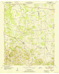
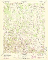
Editions of this 1951 Belfast Map
3 editions found
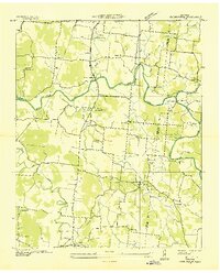
Other maps of this area
1936 · Farmington
USGS Topo · 1:24,000
1936 · Belfast
USGS Topo · 1:24,000
1936 · Cornersville
USGS Topo · 1:24,000
1936 · Lewisburg
USGS Topo · 1:24,000

1936 · Belleville
USGS Topo · 1:24,000
1936 · Verona
USGS Topo · 1:24,000
1936 · Petersburg
USGS Topo · 1:24,000
1936 · Unionville
USGS Topo · 1:24,000
1936 · Bedford
USGS Topo · 1:24,000

1944 · Shelbyville
USGS Topo · 1:100,000