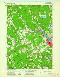
1960 Map of Belfast
USGS Topo · Published 1962About this map
The Passagassawakeag River flows toward Belfast Bay, defining the industrial and geographic character of this coastal Waldo County region. The city of Belfast is shown in detail, where the Belfast & Moosehead Lake RR meets the tidewater near City Point. This 1960 field-checked survey documents a transition from the working waterfront and urban center to a rural interior punctuated by crossroads hamlets like Poors Mill, Vickerys Corner, and Simpsons Corner.
Find a feature on this map
98 named features on this map. Tap any name to fly to it.
Don’t see what you’re looking for? This feature index may not catch every label — zoom into the map to look around manually.
Map Details
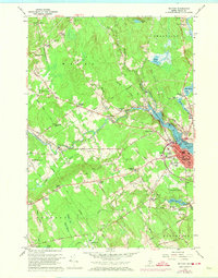
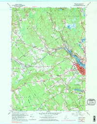
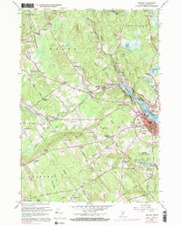
Editions of this 1960 Belfast Map
4 editions found
Other maps of this area

1900 · Bucksport
USGS Topo · 1:62,500

1902 · Bucksport
USGS Topo · 1:62,500

1902 · Castine
USGS Topo · 1:62,500

1904 · Castine
USGS Topo · 1:62,500

1905 · Penobscot Bay
USGS Topo · 1:125,000

1915 · Belfast
USGS Topo · 1:62,500

1917 · Belfast
USGS Topo · 1:62,500

1932 · Brooks
USGS Topo · 1:62,500

1941 · Belfast
USGS Topo · 1:62,500

1941 · Castine
USGS Topo · 1:62,500