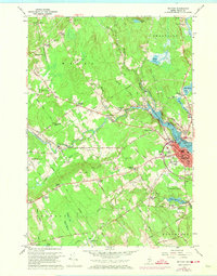
1960 Map of Belfast
USGS Topo · Published 1974About this map
Belfast serves as the focal point of this Waldo County coastal region, situated where the Passagassawakeag River meets the Belfast Bay. The mid-century town structure is detailed with its concentration of civic and social sites, including the St Margarets Ch, Grove Cemetery, and the Belfast Municipal Airport. The industrial and agricultural heritage of the surrounding landscape is marked by numerous family-named corners such as Evans Corner and Whitecombs Corner, alongside rural processing sites like Poors Mill and Holmes Mill. Moving inland, the terrain transitions into the wetlands of Hayford Bog and Jackson Meadow. A significant feature of the era is the Belfast and Moosehead Lake Railroad, which tracks along the river toward City Point. This survey also captures the cultural shift toward automobile-centric entertainment with the Drive-in Theater located west of the main city center.
Find a feature on this map
110 named features on this map. Tap any name to fly to it.
Don’t see what you’re looking for? This feature index may not catch every label — zoom into the map to look around manually.
Map Details
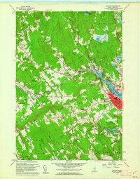
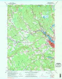
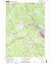
Editions of this 1960 Belfast Map
4 editions found
Other maps of this area

1900 · Bucksport
USGS Topo · 1:62,500

1902 · Bucksport
USGS Topo · 1:62,500

1902 · Castine
USGS Topo · 1:62,500

1904 · Castine
USGS Topo · 1:62,500

1905 · Penobscot Bay
USGS Topo · 1:125,000

1915 · Belfast
USGS Topo · 1:62,500

1917 · Belfast
USGS Topo · 1:62,500

1932 · Brooks
USGS Topo · 1:62,500

1941 · Belfast
USGS Topo · 1:62,500

1941 · Castine
USGS Topo · 1:62,500