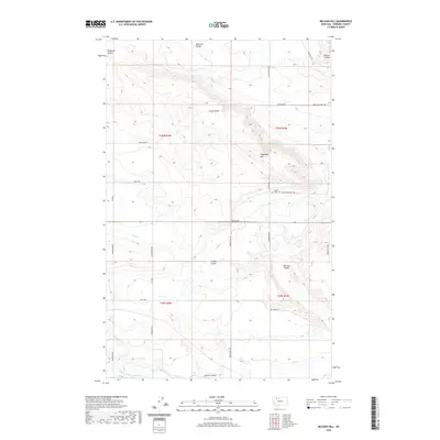
2020 Map of Belgian Hill
USGS Topo · Published 2020About this map
Sacred Heart Cem stands as a spiritual landmark in this northern Montana landscape, located near the intersection of Belgian Church Rd and Tower Rd. The terrain is defined by a series of prominent rises and water-carved coulees, including Belgian Hill, Telephone Hill, and Trunk Butte. These elevations overlook the Bullhead Valley and the wandering course of Bullhead Cr to the north, while the Dry Fork Marias River cuts across the southern reach of the survey area.
Find a feature on this map
34 named features on this map. Tap any name to fly to it.
Don’t see what you’re looking for? This feature index may not catch every label — zoom into the map to look around manually.
Map Details
Editions of this 2020 Belgian Hill Map
This is the sole edition of this map. No revisions or reprints were ever made.
Other maps of this area

1920 · Dupuyer
USGS Topo · 1:125,000

1920 · Conrad
USGS Topo · 1:125,000

1934 · Valier
USGS Topo · 1:62,500

1937 · Valier
USGS Topo · 1:62,500

1938 · Gallup City
USGS Topo · 1:62,500

1942 · Gallup City
USGS Topo · 1:62,500

1954 · Shelby
USGS Topo · 1:250,000

1958 · Shelby
USGS Topo · 1:250,000

1960 · Cut Bank
USGS Topo · 1:250,000

1963 · Cut Bank
USGS Topo · 1:250,000