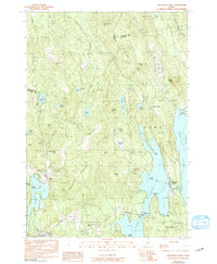
1982 Map of Belgrade Lakes
USGS Topo · Published 1991About this map
Belgrade Lakes sits prominently at the narrows between Long Pond and Great Belgrade Pond, serving as a central point in this early 1980s portrait of central Maine's lake country. The landscape is defined by its significant relief, rising from the water's edge to the summits of Vienna Mountain and McGaffey Mountain. These highland areas are dotted with numerous smaller water bodies, including Watson Pond and Kimball Pond, showing a topography where drainage patterns are deeply influenced by the glacial terrain of Hampshire Hill and Sanders Hill.
Find a feature on this map
63 named features on this map. Tap any name to fly to it.
Don’t see what you’re looking for? This feature index may not catch every label — zoom into the map to look around manually.
Map Details
Editions of this 1982 Belgrade Lakes Map
3 editions found
Other maps of this area

1892 · Augusta
USGS Topo · 1:62,500

1894 · Norridgewock
USGS Topo · 1:62,500

1898 · Norridgewock
USGS Topo · 1:62,500

1910 · Livermore
USGS Topo · 1:62,500

1912 · Livermore
USGS Topo · 1:62,500

1924 · Farmington
USGS Topo · 1:62,500

1941 · Livermore
USGS Topo · 1:62,500

1941 · Augusta
USGS Topo · 1:62,500

1943 · Augusta
USGS Topo · 1:62,500

1943 · Norridgewock
USGS Topo · 1:62,500