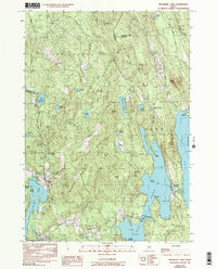
1982 Map of Belgrade Lakes
USGS Topo · Published 1991About this map
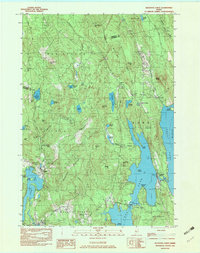
Long Pond and Great Pond dominate the landscape of the Kennebec County lakelands, where 20th-century development centered around the narrow isthmus of Belgrade Lakes. This 1982 provisional survey illustrates a transition from timber-heavy terrain to a recreational and residential corridor. Local settlements like Rome Corner and Vienna are depicted alongside inland landmarks such as Vienna Mountain and McGaffey Mountain, while the Mount Vernon Airport reflects the modernization of rural accessibility. The map preserves the names of numerous family-linked features like McIntire Pond, Berry Hill, and Morrill Hill, providing a detailed view of property and terrain before late-century expansion. Researchers will find interest in the scattered rural architecture noted by labels such as Rome Sch and various Cem locations that mark the early footprint of these Maine townships.
Find a feature on this map
62 named features on this map. Tap any name to fly to it.
Don’t see what you’re looking for? This feature index may not catch every label — zoom into the map to look around manually.
Map Details
Editions of this 1982 Belgrade Lakes Map
3 editions found
Other maps of this area

1892 · Augusta
USGS Topo · 1:62,500

1894 · Norridgewock
USGS Topo · 1:62,500

1898 · Norridgewock
USGS Topo · 1:62,500

1910 · Livermore
USGS Topo · 1:62,500

1912 · Livermore
USGS Topo · 1:62,500

1924 · Farmington
USGS Topo · 1:62,500

1941 · Livermore
USGS Topo · 1:62,500

1941 · Augusta
USGS Topo · 1:62,500

1943 · Augusta
USGS Topo · 1:62,500

1943 · Norridgewock
USGS Topo · 1:62,500