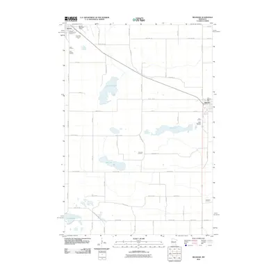
2010 Map of Belgrade
USGS Topo · Published 2010About this map
Brooten and Belgrade anchor this agricultural landscape in Stearns County, serving as the primary hubs for a network of country roads and farmsteads. The area is defined by a series of significant water bodies, including Tamarack Lake, Crow Lake, and Fish Lake, which break up the geometric grid of county highways. This survey provides a vital resource for genealogists, as it documents numerous historic burial grounds such as Saint Donatus Cemetery, Zion Cemetery, and the Crow River Cemetery.
Find a feature on this map
53 named features on this map. Tap any name to fly to it.
Don’t see what you’re looking for? This feature index may not catch every label — zoom into the map to look around manually.
Map Details
Editions of this 2010 Belgrade Map
This is the sole edition of this map. No revisions or reprints were ever made.
Other maps of this area

1953 · Saint Cloud
USGS Topo · 1:250,000

1957 · Saint Cloud
USGS Topo · 1:250,000

1958 · Saint Cloud
USGS Topo · 1:250,000

1965 · Padua
USGS Topo · 1:24,000

1965 · Sedan
USGS Topo · 1:24,000

1965 · Elrosa
USGS Topo · 1:24,000

1967 · Mount Tom
USGS Topo · 1:24,000

1967 · Sunburg
USGS Topo · 1:24,000

1967 · Belgrade
USGS Topo · 1:24,000

1967 · Lake Johanna
USGS Topo · 1:24,000