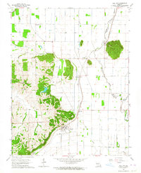
1963 Map of Bell City
USGS Topo · Published 1964About this map
St Louis Southwestern rail lines anchor the landscape of this 1963 survey, connecting small Missouri agricultural communities like Bell City, Perkins, and Ardeola. The topography is defined by distinct elevations such as Bird Hill, Cow Hill, and Lost Hill that rise sharply above the surrounding lowlands. These lowlands are drained by a complex network of waterways, including the Whitewater River, Ash Slough, and Bill Bayou, with a prominent Levee system protecting the Jenkins Basin.
Find a feature on this map
34 named features on this map. Tap any name to fly to it.
Don’t see what you’re looking for? This feature index may not catch every label — zoom into the map to look around manually.
Map Details
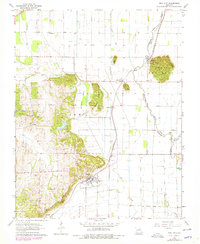
Editions of this 1963 Bell City Map
2 editions found
Other maps of this area

1931 · Sikeston
USGS Topo · 1:62,500

1934 · Morley
USGS Topo · 1:62,500

1934 · Bloomfield
USGS Topo · 1:62,500

1934 · Sikeston
USGS Topo · 1:62,500

1934 · Advance
USGS Topo · 1:62,500

1939 · Bloomfield
USGS Topo · 1:62,500

1939 · Sikeston
USGS Topo · 1:62,500

1939 · Morley
USGS Topo · 1:62,500

1939 · Advance
USGS Topo · 1:62,500

1949 · Paducah
USGS Topo · 1:250,000