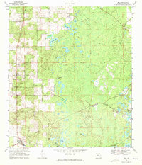
1968 Map of Bell
USGS Topo · Published 1971About this map
Bell serves as the primary community in this north-central Florida interior, situated at a junction of regional transport and agriculture during the late 1960s. The Seaboard Coast Line railroad runs through the town and the smaller stop at Williford, facilitating the transport of materials from local operations like the western Quarry and various sand and gravel pits. The landscape is dominated by a high density of sinkhole lakes and cypress ponds, including Sevenmile Lake, Half Moon Pond, and the uniquely named Poley Cow Pen.
Find a feature on this map
26 named features on this map. Tap any name to fly to it.
Don’t see what you’re looking for? This feature index may not catch every label — zoom into the map to look around manually.
Map Details
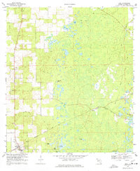
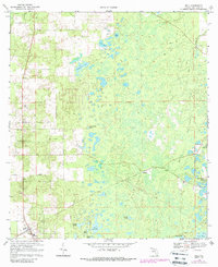
Editions of this 1968 Bell Map
3 editions found
Other maps of this area

1954 · Gainesville
USGS Topo · 1:250,000

1958 · Gainesville
USGS Topo · 1:250,000

1959 · Gainesville
USGS Topo · 1:250,000

1968 · Waters Lake
USGS Topo · 1:24,000

1968 · Fourmile Lake
USGS Topo · 1:24,000

1968 · Branford
USGS Topo · 1:24,000

1968 · Hatchbend
USGS Topo · 1:24,000
1968 · Hildreth
USGS Topo · 1:24,000
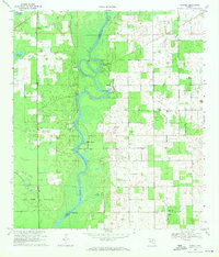
1968 · Wannee
USGS Topo · 1:24,000
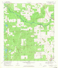
1969 · High Springs SW
USGS Topo · 1:24,000