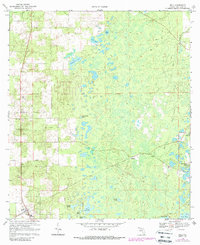
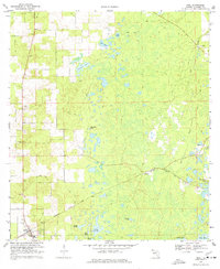
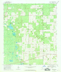
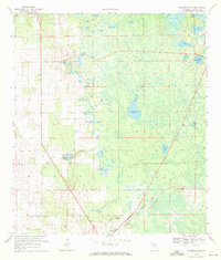
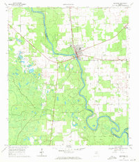
1968 Map of Bell
USGS Topo · Published 1988About this map
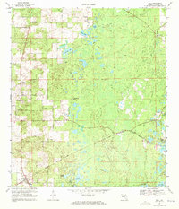
The town of Bell serves as the primary hub in this Gilchrist County landscape, characterized by a complex network of wetlands and solution ponds that define the region's geography. During the late 1960s, the local community life was anchored by institutions such as the High Sch, Pierce Chapel, and Bell Ch. To the east, the rural character is punctuated by several smaller settlements like Williford and spiritual landmarks including Mt Horeb Ch.
Find a feature on this map
25 named features on this map. Tap any name to fly to it.
Don’t see what you’re looking for? This feature index may not catch every label — zoom into the map to look around manually.
Map Details
Editions of this 1968 Bell Map
3 editions found
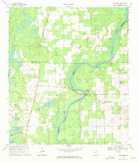
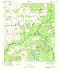
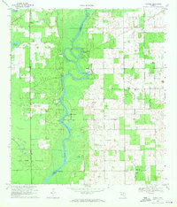
Other maps of this area

1954 · Gainesville
USGS Topo · 1:250,000

1958 · Gainesville
USGS Topo · 1:250,000

1959 · Gainesville
USGS Topo · 1:250,000
1968 · Waters Lake
USGS Topo · 1:24,000
1968 · Fourmile Lake
USGS Topo · 1:24,000
1968 · Branford
USGS Topo · 1:24,000
1968 · Hatchbend
USGS Topo · 1:24,000
1968 · Hildreth
USGS Topo · 1:24,000
1968 · Wannee
USGS Topo · 1:24,000
1968 · Bell
USGS Topo · 1:24,000