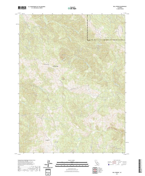
2021 Map of Bell Springs
USGS Topo · Published 2021About this map
Bell Springs serves as a central point in this northern California landscape, situated along the winding path of Bell Springs Rd. The terrain is defined by significant elevations and ridges, including Bell Springs Mtn and the prominent Mail Ridge to the south. The area is intersected by the county boundary between Trinity and Mendocino, carving through high points like Island Mtn. Waterways such as Chamise Cr and Bell Springs Cr drain the steep slopes, illustrating the complex drainage patterns of the region. Distinctive landmarks like Camel Rock, White Slide, and Blue Rock provide specific navigation points for those studying the physical geography or local land use history. These geological features, combined with ranch roads like Lundblade Ranch Rd, reflect a history of remote settlement and land management in this part of the Coast Range.
Find a feature on this map
31 named features on this map. Tap any name to fly to it.
Don’t see what you’re looking for? This feature index may not catch every label — zoom into the map to look around manually.
Map Details
Editions of this 2021 Bell Springs Map
This is the sole edition of this map. No revisions or reprints were ever made.
Other maps of this area

1920 · Cummings
USGS Topo · 1:62,500

1920 · Covelo
USGS Topo · 1:62,500

1920 · Harris
USGS Topo · 1:62,500

1921 · Hoaglin
USGS Topo · 1:62,500

1922 · Island Mountain
USGS Topo · 1:62,500

1931 · Hoaglin
USGS Topo · 1:96,000

1935 · Hoaglin
USGS Topo · 1:125,000

1949 · Alderpoint
USGS Topo · 1:62,500

1951 · Alderpoint
USGS Topo · 1:62,500

1952 · Spyrock
USGS Topo · 1:62,500