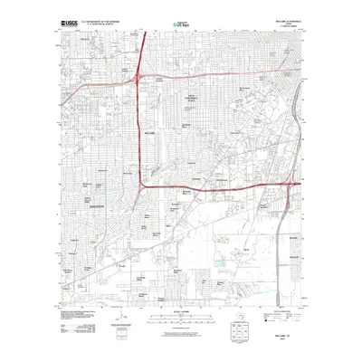
2010 Map of Bellaire
USGS Topo · Published 2010About this map
Rice University and several medical and educational institutions anchor this dense urban corridor during the early 21st century. The landscape is defined by established residential enclaves and the commercial hubs of Southwest Houston. To the north, The Galleria and The Pavilion on Post Oak mark a major retail epicenter, while the Westmoreland Historic District and Broadacres Historic District preserve the area's older residential character amidst rapid modernization.
Find a feature on this map
77 named features on this map. Tap any name to fly to it.
Don’t see what you’re looking for? This feature index may not catch every label — zoom into the map to look around manually.
Map Details
Editions of this 2010 Bellaire Map
This is the sole edition of this map. No revisions or reprints were ever made.
Other maps of this area

1915 · Bellaire
USGS Topo · 1:24,000

1915 · Park Place
USGS Topo · 1:24,000

1915 · Houston Heights
USGS Topo · 1:24,000

1915 · Alief
USGS Topo · 1:24,000

1915 · Hillendahl
USGS Topo · 1:24,000

1916 · Settegast
USGS Topo · 1:24,000

1918 · Hillendahl
USGS Topo · 1:31,680

1920 · Mykawa
USGS Topo · 1:31,680

1920 · Almeda
USGS Topo · 1:31,680

1921 · Bellaire
USGS Topo · 1:31,680