Loading...
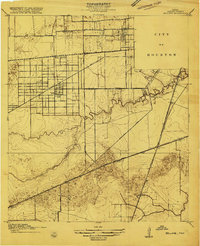
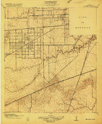
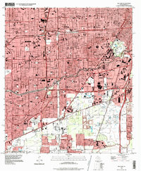
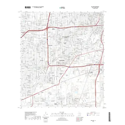
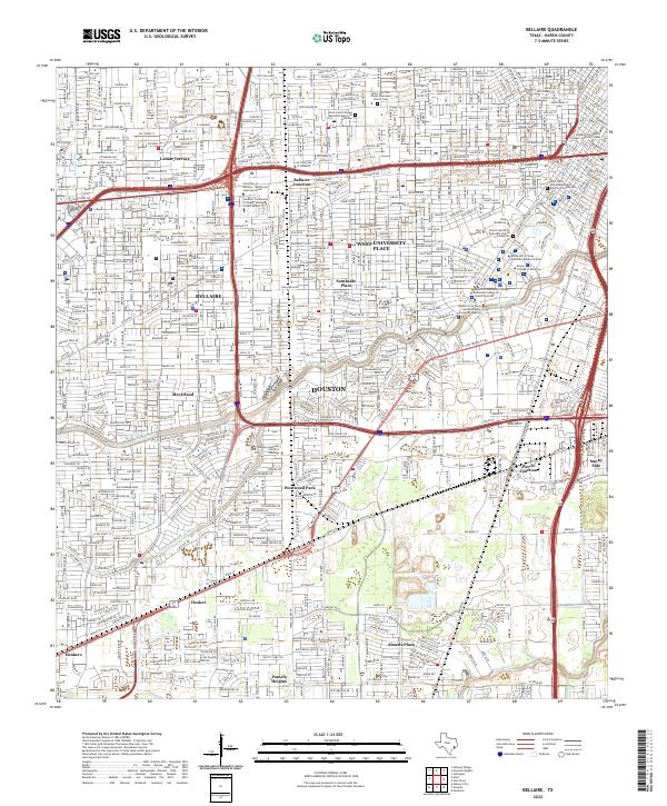
Loading map...1915 Map of Bellaire
USGS Topo · Published 1915About this map
Rice Institute and the western periphery of the City of Houston dominate this landscape during a period of early urban expansion. The survey captures Bellaire as a distinct emerging settlement, organized around a rigid street grid and served by the Bellaire Electric Boulevard. This era reflects a transition from rural agriculture to institutional and suburban development, evidenced by the presence of the Poor Farm and the Girls Industrial School located along the Richmond Road.
Find a feature on this map
26 named features on this map. Tap any name to fly to it.
Don’t see what you’re looking for? This feature index may not catch every label — zoom into the map to look around manually.
Map Details
Date Portrayed1915
Date Published1915
PublisherU.S. Geological Survey
Map TypeTopographic
Scale1:24,000
Physical Dimensions22 x 27.1 inches
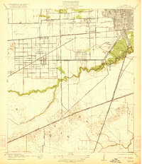
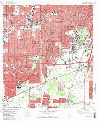
Editions of this 1915 Bellaire Map
2 editions found
Historical Maps of Houston Through Time
9 maps found
Featured Locations
Source Details
SourceU.S. Geological Survey
CopyrightPublic Domain