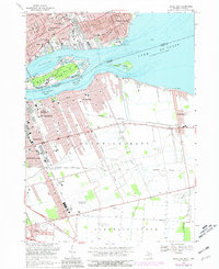
1968 Map of Belle Isle
USGS Topo · Published 1981About this map
Belle Isle Park sits at the heart of this international river landscape, showcasing its complex of lagoons and landmarks like the Detroit Yacht Club and Carillon. Across the Detroit River, the Canadian shoreline transitions from the industrial waterfronts of East Windsor and Walkerville to the expansive grid of Sandwich East. This survey documents a critical period of urban density in Detroit, where neighborhood schools like Southeastern High Sch and Pingree Sch serve the residential blocks north of Jefferson Ave. On the Ontario side, the rail infrastructure is clearly defined, featuring the Canadian National and Canadian Pacific lines that supported the region's manufacturing growth. The map also captures the suburban edge of Grosse Pointe Park near Fox Creek, contrasting the heavy maritime activity of the Fleming Channel with the growing footprint of the Windsor Airport to the south.
Find a feature on this map
68 named features on this map. Tap any name to fly to it.
Don’t see what you’re looking for? This feature index may not catch every label — zoom into the map to look around manually.
Map Details
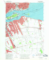
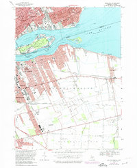
Editions of this 1968 Belle Isle Map
Other maps of this area

1905 · Detroit
USGS Topo · 1:62,500

1905 · Grosse Pointe
USGS Topo · 1:62,500

1906 · Wyandotte
USGS Topo · 1:62,500

1912 · Wyandotte
USGS Topo · 1:62,500

1918 · Detroit
USGS Topo · 1:62,500

1918 · Grosse Pointe
USGS Topo · 1:62,500

1924 · Detroit
USGS Topo · 1:62,500

1929 · Wyandotte
USGS Topo · 1:62,500

1934 · Detroit
USGS Topo · 1:62,500
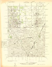
1936 · Highland Park
USGS Topo · 1:31,680