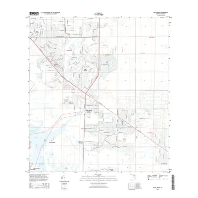
2015 Map of Belle Meade
USGS Topo · Published 2015About this map
Henderson Creek and its surrounding wetlands dominate this coastal landscape, where the residential developments of East Naples and Lely meet the protected waters of Rookery Bay. The transition from suburban neighborhoods like Naples Manor and Lely Resort to the mangrove-lined estuaries is clearly visible, showing the intricate network of canals and coastal roads such as Tamiami Trl E and Collier Blvd.
Find a feature on this map
30 named features on this map. Tap any name to fly to it.
Don’t see what you’re looking for? This feature index may not catch every label — zoom into the map to look around manually.
Map Details
Editions of this 2015 Belle Meade Map
This is the sole edition of this map. No revisions or reprints were ever made.
Other maps of this area

1956 · Miami
USGS Topo · 1:250,000

1956 · West Palm Beach
USGS Topo · 1:250,000

1957 · West Palm Beach
USGS Topo · 1:250,000

1958 · West Palm Beach
USGS Topo · 1:250,000

1958 · Miami
USGS Topo · 1:250,000

1958 · Belle Meade
USGS Topo · 1:24,000

1958 · Naples South
USGS Topo · 1:24,000

1958 · Belle Meade NE
USGS Topo · 1:24,000

1958 · Belle Meade NW
USGS Topo · 1:24,000

1958 · Belle Meade SE
USGS Topo · 1:24,000