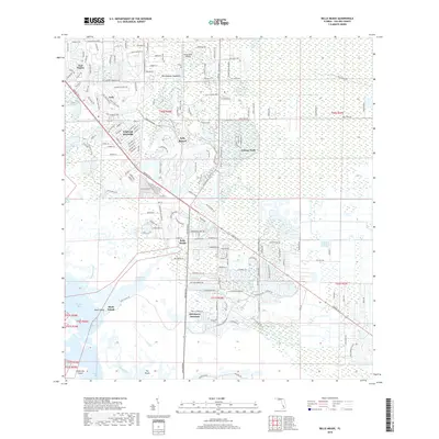
2018 Map of Belle Meade
USGS Topo · Published 2018About this map
Lely Resort and Verona Walk characterize the modern residential landscape of Collier County in the late 2010s. This survey illustrates the intricate balance between suburban development and the low-lying wetlands of the Gulf Coast. The transition from the dense residential grid of Naples Manor to the expansive, undeveloped territory of The Woods highlights the southern extent of the Naples metropolitan area's growth.
Find a feature on this map
181 named features on this map. Tap any name to fly to it.
Don’t see what you’re looking for? This feature index may not catch every label — zoom into the map to look around manually.
Map Details
Editions of this 2018 Belle Meade Map
This is the sole edition of this map. No revisions or reprints were ever made.
Other maps of this area

1956 · Miami
USGS Topo · 1:250,000

1956 · West Palm Beach
USGS Topo · 1:250,000

1957 · West Palm Beach
USGS Topo · 1:250,000

1958 · West Palm Beach
USGS Topo · 1:250,000

1958 · Miami
USGS Topo · 1:250,000

1958 · Belle Meade
USGS Topo · 1:24,000

1958 · Naples South
USGS Topo · 1:24,000

1958 · Belle Meade NE
USGS Topo · 1:24,000

1958 · Belle Meade NW
USGS Topo · 1:24,000

1958 · Belle Meade SE
USGS Topo · 1:24,000