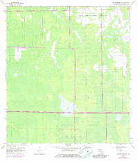
1958 Map of Belle Meade NE
USGS Topo · Published 1987About this map
Big Corkscrew Island and Curry Island dominate this topographic landscape in Collier County, illustrating the intricate hydrology of the western Everglades during the mid-20th century. The map represents a environment of wetlands and pine islands before the era of widespread development, with only minimal human incursions such as a singular Camp shown in the northern reaches. A significant infrastructure shift is documented by the inclusion of the Everglades Parkway (Alligator Alley), a critical east-west corridor that transformed access across the Florida peninsula. The presence of Stumpy Strand and various unnamed sloughs and marshlands highlights the natural drainage patterns that defined this region. Later revisions from the 1970s provide evidence of early land-clearing efforts and the expansion of drainage networks, marking the beginning of the area's transition from an isolated wilderness into a more managed landscape.
Find a feature on this map
5 named features on this map. Tap any name to fly to it.
Don’t see what you’re looking for? This feature index may not catch every label — zoom into the map to look around manually.
Map Details
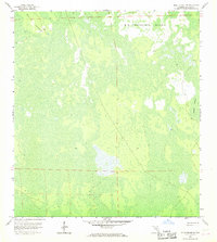
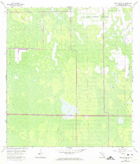
Editions of this 1958 Belle Meade NE Map
4 editions found
Other maps of this area

1956 · West Palm Beach
USGS Topo · 1:250,000

1957 · West Palm Beach
USGS Topo · 1:250,000

1958 · West Palm Beach
USGS Topo · 1:250,000

1958 · Corkscrew SE
USGS Topo · 1:24,000

1958 · Belle Meade
USGS Topo · 1:24,000

1958 · Catherine Island
USGS Topo · 1:24,000

1958 · Belle Meade NE
USGS Topo · 1:24,000

1958 · Belle Meade NW
USGS Topo · 1:24,000

1958 · Immokalee SW
USGS Topo · 1:24,000

1958 · Corkscrew SW
USGS Topo · 1:24,000