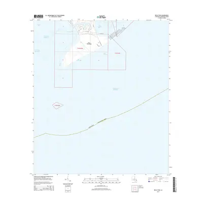
2015 Map of Belle Pass
USGS Topo · Published 2015About this map
Port Fourchon stands as the central hub of this coastal industrial landscape, situated where Bayou Lafourche meets the open waters. The map illustrates a complex network of man-made and natural waterways, including Evans Canal and Pass Fourchon, which support the intense maritime and energy infrastructure of the region. This 2015 survey details the specific road layouts serving the port, such as Lumcon Rd and Chevron Rd, highlighting the intersection of deep-water access and industrial transport. Surrounding the port, the delicate coastal geography of Timbalier Bay, Bay Marchand, and Belle Pass reflects the ever-shifting interface between the Louisiana marshlands and the Gulf of Mexico. This document is a precise record of the shoreline and maritime facilities at a time of significant economic activity for Lafourche Parish.
Find a feature on this map
32 named features on this map. Tap any name to fly to it.
Don’t see what you’re looking for? This feature index may not catch every label — zoom into the map to look around manually.
Map Details
Editions of this 2015 Belle Pass Map
This is the sole edition of this map. No revisions or reprints were ever made.
Other maps of this area

1892 · Cheniere Caminada
USGS Topo · 1:62,500

1894 · Timbalier
USGS Topo · 1:62,500

1935 · Pelican Pass
USGS Topo · 1:31,680

1935 · Calumet Island
USGS Topo · 1:31,680

1935 · Leeville
USGS Topo · 1:31,680

1945 · New Orleans
USGS Topo · 1:250,000

1945 · Leeville
USGS Topo · 1:31,680

1947 · Caminada Pass
USGS Topo · 1:31,680
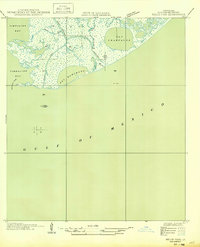
1949 · Belle Pass
USGS Topo · 1:31,680
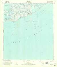
1953 · Belle Pass
USGS Topo · 1:24,000