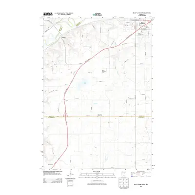
2013 Map of Belle Plaine South
USGS Topo · Published 2013About this map
Belle Plaine anchors the northeast corner of this landscape, situated along a network of historic street names including W Main St and S Meridian St. The area is notably dense with local burial grounds that provide a deep genealogical record of the community, ranging from the Church of the Transfiguration Protestant Episcopal Cem to the Saints Peter and Paul Cem. South of the town center, the Emma Krumbee's Apple Orchard reflects the agricultural character of the region. To the west, the smaller settlement of Blakeley sits near the winding course of the Minnesota River. The geography is further defined by water features like Clark Lake and Robert Cr, while landmarks such as the Nagel and Schultz Airport and Schlegel Cem mark the rural expanses between the primary settlements.
Find a feature on this map
52 named features on this map. Tap any name to fly to it.
Don’t see what you’re looking for? This feature index may not catch every label — zoom into the map to look around manually.
Map Details
Editions of this 2013 Belle Plaine South Map
This is the sole edition of this map. No revisions or reprints were ever made.
Other maps of this area

1953 · Saint Paul
USGS Topo · 1:250,000

1957 · Belle Plaine
USGS Topo · 1:62,500

1957 · New Prague
USGS Topo · 1:62,500

1959 · Saint Paul
USGS Topo · 1:250,000

1965 · Le Sueur
USGS Topo · 1:24,000

1965 · St Thomas
USGS Topo · 1:24,000

1966 · Le Center
USGS Topo · 1:24,000
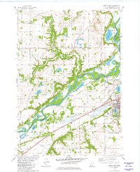
1981 · Jordan West
USGS Topo · 1:24,000
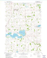
1981 · Hamburg
USGS Topo · 1:24,000
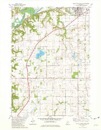
1981 · Belle Plaine South
USGS Topo · 1:24,000