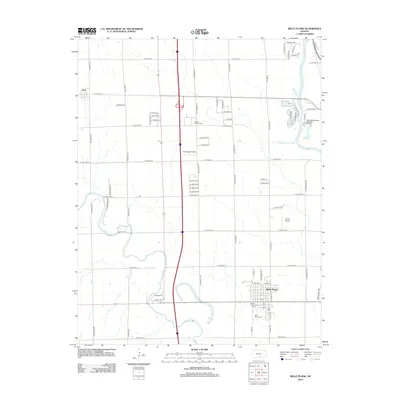
2012 Map of Belle Plaine
USGS Topo · Published 2012About this map
The confluence of the Ninnescah River and the Arkansas River defines this landscape south of Wichita in the early 21st century. The city of Belle Plaine serves as a focal point, characterized by its grid of residential streets and the notable Bartlett Arboretum, a regional landmark located at the edge of the settlement. To the north, the small community of Peck sits near the western border, while the surrounding territory is primarily agricultural, marked by a dense network of section-line roads such as S Hydraulic St and S Hillside St. Local aviation history is represented by Kendrigan Airport and Rands Airport, two small airfields servicing the rural area. Cultural and civic sites, including the Prairie Garden Cem and Belle Plaine Cem, offer important data points for genealogists tracking local families in this river valley region.
Find a feature on this map
72 named features on this map. Tap any name to fly to it.
Don’t see what you’re looking for? This feature index may not catch every label — zoom into the map to look around manually.
Map Details
Editions of this 2012 Belle Plaine Map
This is the sole edition of this map. No revisions or reprints were ever made.
Other maps of this area

1889 · Wichita
USGS Topo · 1:125,000

1890 · Wellington
USGS Topo · 1:125,000

1894 · Wichita
USGS Topo · 1:125,000

1943 · Derby
USGS Topo · 1:31,680

1943 · Bayneville
USGS Topo · 1:31,680

1950 · Bayneville
USGS Topo · 1:24,000

1955 · Belle Plaine
USGS Topo · 1:24,000
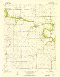
1955 · Zyba
USGS Topo · 1:24,000

1955 · Rose Hill
USGS Topo · 1:24,000

1955 · Mulvane
USGS Topo · 1:24,000