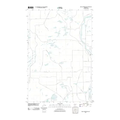
2010 Map of Belle Prairie NW
USGS Topo · Published 2010About this map
Mississippi River frontage and the Camp Ripley Mounds define this portion of Morrison County, where military training grounds meet a dense pocket of glacial lakes. The northeastern corner is dominated by the river's winding path, featuring Pipe Island and a network of roads with international names such as Luzon Rd, Corregidor Rd, and Bizerte Rd, reflecting the area's significance to Camp Ripley.
Find a feature on this map
63 named features on this map. Tap any name to fly to it.
Don’t see what you’re looking for? This feature index may not catch every label — zoom into the map to look around manually.
Map Details
Editions of this 2010 Belle Prairie NW Map
This is the sole edition of this map. No revisions or reprints were ever made.
Other maps of this area

1916 · Pillager
USGS Topo · 1:62,500

1919 · Pillager
USGS Topo · 1:62,500

1948 · Belle Prairie
USGS Topo · 1:62,500

1948 · Cushing
USGS Topo · 1:62,500

1950 · Belle Prairie
USGS Topo · 1:62,500

1950 · Cushing
USGS Topo · 1:62,500

1953 · Brainerd
USGS Topo · 1:250,000

1954 · Baxter
USGS Topo · 1:24,000

1954 · Pillager
USGS Topo · 1:24,000
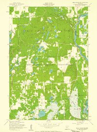
1956 · Belle Prairie NW
USGS Topo · 1:24,000