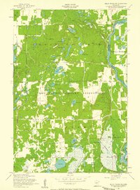
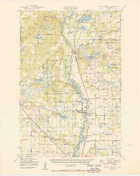
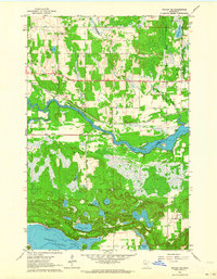
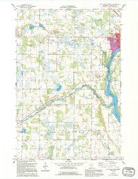
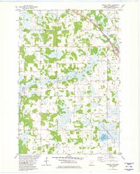
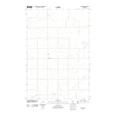
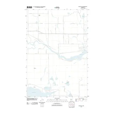
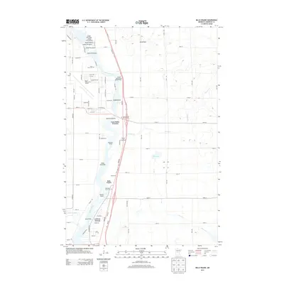
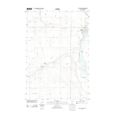
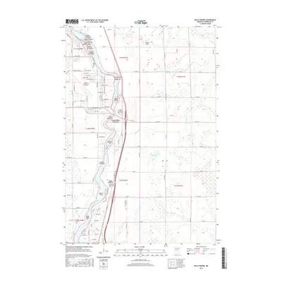
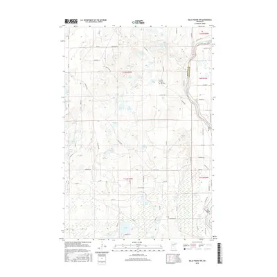
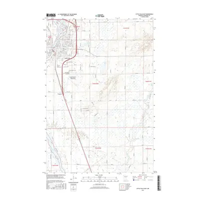
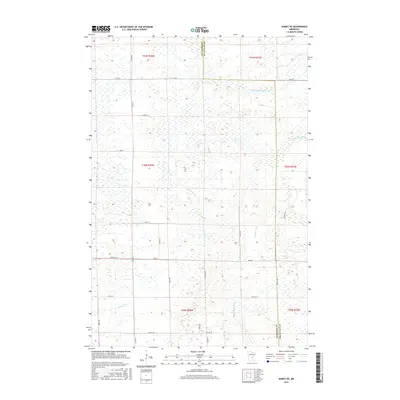
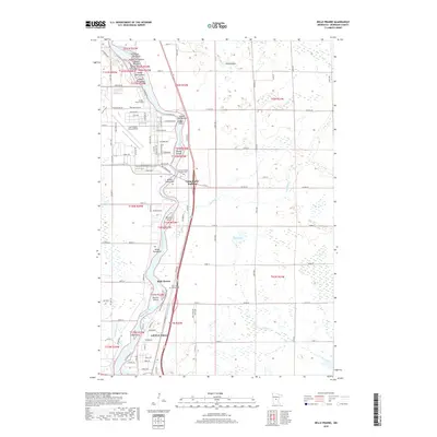
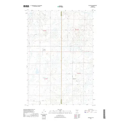
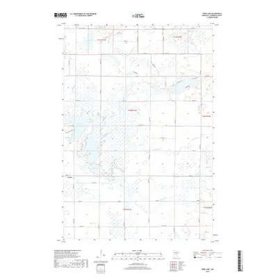
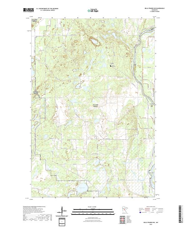
1956 Map of Belle Prairie NW
USGS Topo · Published 1958About this map
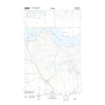
Camp Ripley Military Reservation dominates the landscape of this 1950s survey, illustrating the extensive military footprint within Morrison and Crow Wing Counties. The map details a complex grid of military and rural roads, such as Normandy Road, Gettysburg Road, and Anzio Road, which weave between dozens of named lakes and wetlands. The Mississippi River forms the eastern boundary of the reservation, featuring landmarks like Pipe Island and the historic installation at Fort Ripley.
Find a feature on this map
48 named features on this map. Tap any name to fly to it.
Don’t see what you’re looking for? This feature index may not catch every label — zoom into the map to look around manually.
Map Details
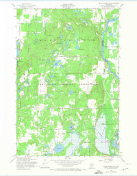
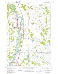
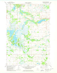
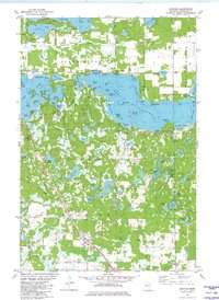
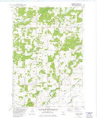
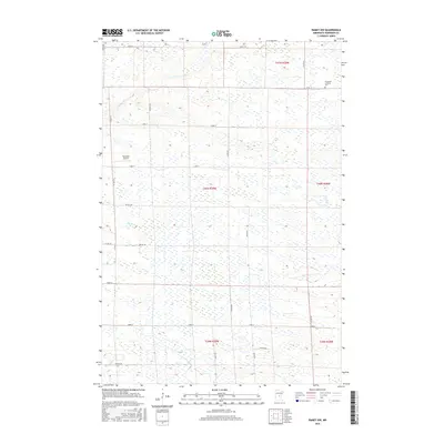
Editions of this 1956 Belle Prairie NW Map
4 editions found
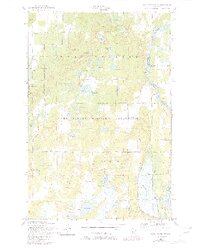
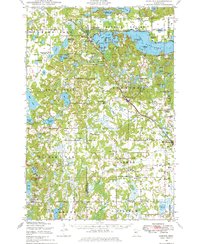
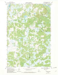
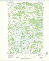
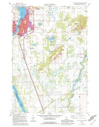
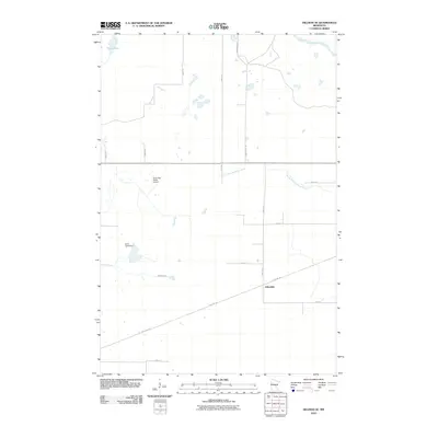
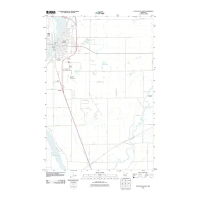
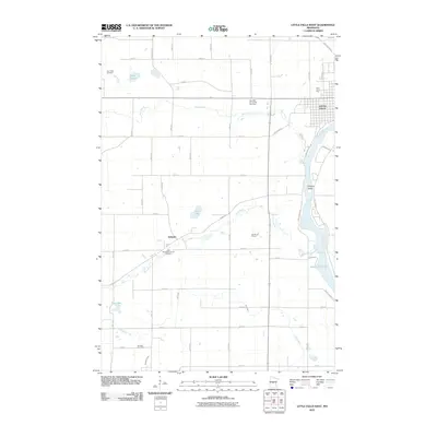
Historical Maps of Morrison County Through Time
82 maps found

1948 Belle Prairie
Morrison County, MN
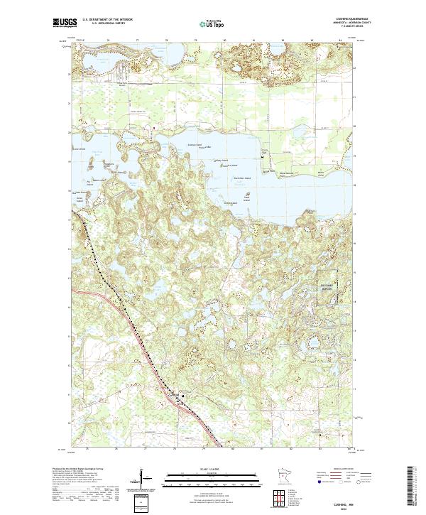
1948 Cushing
Morrison County, MN
1950 Belle Prairie
Morrison County, MN

1950 Cushing
Morrison County, MN
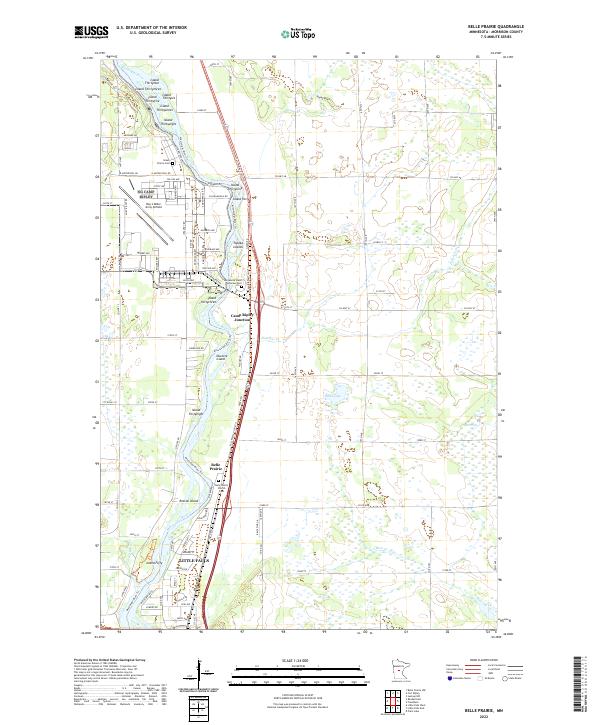
1956 Belle Prairie
Morrison County, MN
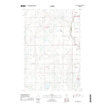
1956 Belle Prairie NW
Morrison County, MN
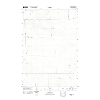
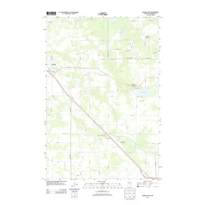
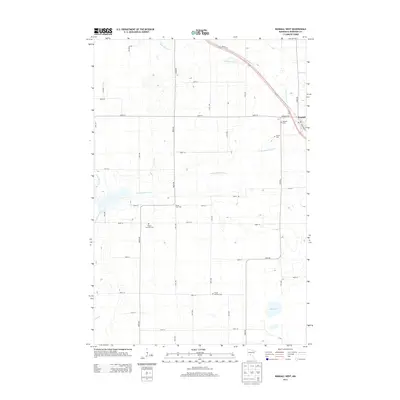
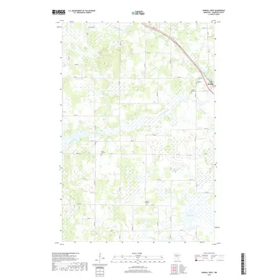
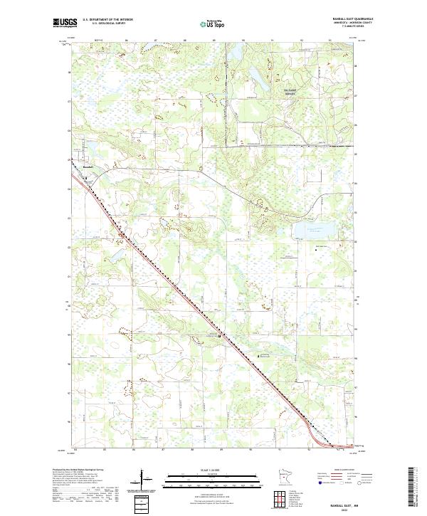
1956 Randall East
Morrison County, MN
1963 Motley SE
Morrison County, MN
1968 Hillman SE
Morrison County, MN

1968 Ramey NE
Morrison County, MN
1968 Ramey NW
Morrison County, MN
1978 Little Falls East
Morrison County, MN
1978 Little Falls West
Morrison County, MN
1978 Pierz Lake
Morrison County, MN
1981 Cushing
Morrison County, MN
1981 Freedhem
Morrison County, MN
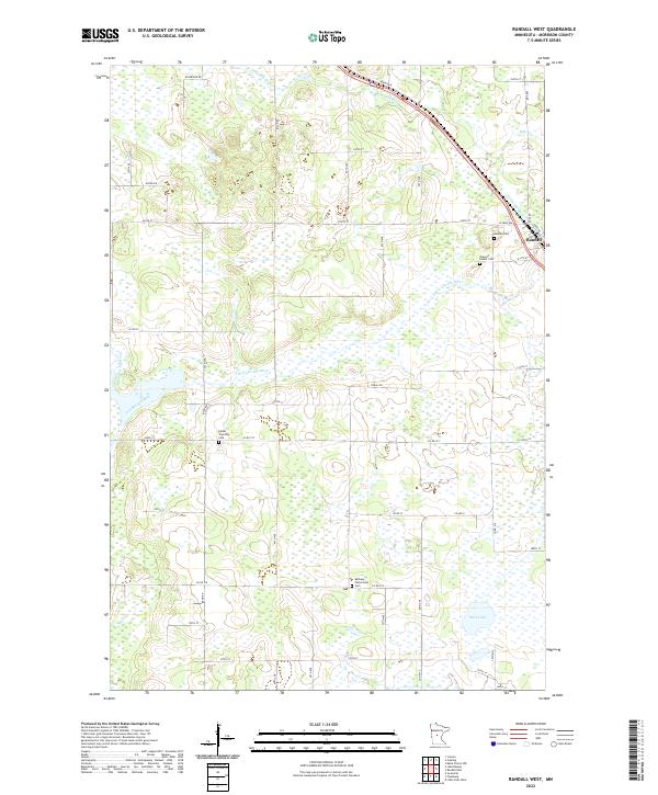
1981 Randall West
Morrison County, MN
2010 Belle Prairie
Morrison County, MN
2010 Belle Prairie NW
Morrison County, MN
2010 Cushing
Morrison County, MN
2010 Freedhem
Morrison County, MN
2010 Hillman SE
Morrison County, MN
2010 Little Falls East
Morrison County, MN
2010 Little Falls West
Morrison County, MN
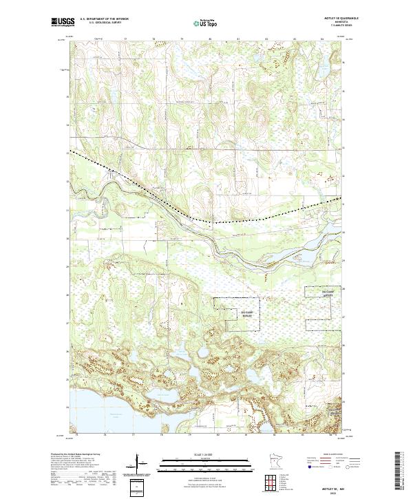
2010 Motley SE
Morrison County, MN
2010 Pierz Lake
Morrison County, MN
2010 Ramey NE
Morrison County, MN
2010 Ramey NW
Morrison County, MN
2010 Randall East
Morrison County, MN
2010 Randall West
Morrison County, MN
2013 Belle Prairie
Morrison County, MN
2013 Belle Prairie NW
Morrison County, MN
2013 Cushing
Morrison County, MN
2013 Freedhem
Morrison County, MN
2013 Hillman SE
Morrison County, MN
2013 Little Falls East
Morrison County, MN
2013 Little Falls West
Morrison County, MN
2013 Motley SE
Morrison County, MN
2013 Pierz Lake
Morrison County, MN
2013 Ramey NE
Morrison County, MN
2013 Ramey NW
Morrison County, MN
2013 Randall East
Morrison County, MN
2013 Randall West
Morrison County, MN
2016 Belle Prairie
Morrison County, MN
2016 Belle Prairie NW
Morrison County, MN
2016 Cushing
Morrison County, MN
2016 Freedhem
Morrison County, MN
2016 Hillman SE
Morrison County, MN
2016 Little Falls East
Morrison County, MN
2016 Little Falls West
Morrison County, MN
2016 Motley SE
Morrison County, MN
2016 Pierz Lake
Morrison County, MN
2016 Ramey NE
Morrison County, MN
2016 Ramey NW
Morrison County, MN
2016 Randall East
Morrison County, MN
2016 Randall West
Morrison County, MN
2019 Belle Prairie
Morrison County, MN
2019 Belle Prairie NW
Morrison County, MN
2019 Cushing
Morrison County, MN
2019 Freedhem
Morrison County, MN
2019 Hillman SE
Morrison County, MN
2019 Little Falls East
Morrison County, MN
2019 Little Falls West
Morrison County, MN
2019 Motley SE
Morrison County, MN
2019 Pierz Lake
Morrison County, MN
2019 Ramey NE
Morrison County, MN
2019 Ramey NW
Morrison County, MN
2019 Randall East
Morrison County, MN
2019 Randall West
Morrison County, MN
2022 Belle Prairie
Morrison County, MN
2022 Belle Prairie NW
Morrison County, MN
2022 Cushing
Morrison County, MN
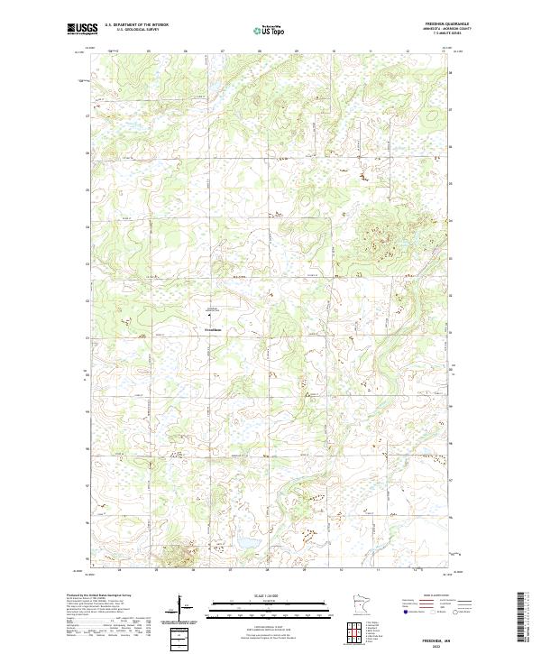
2022 Freedhem
Morrison County, MN
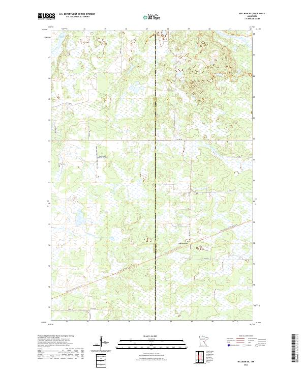
2022 Hillman SE
Morrison County, MN
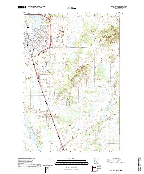
2022 Little Falls East
Morrison County, MN
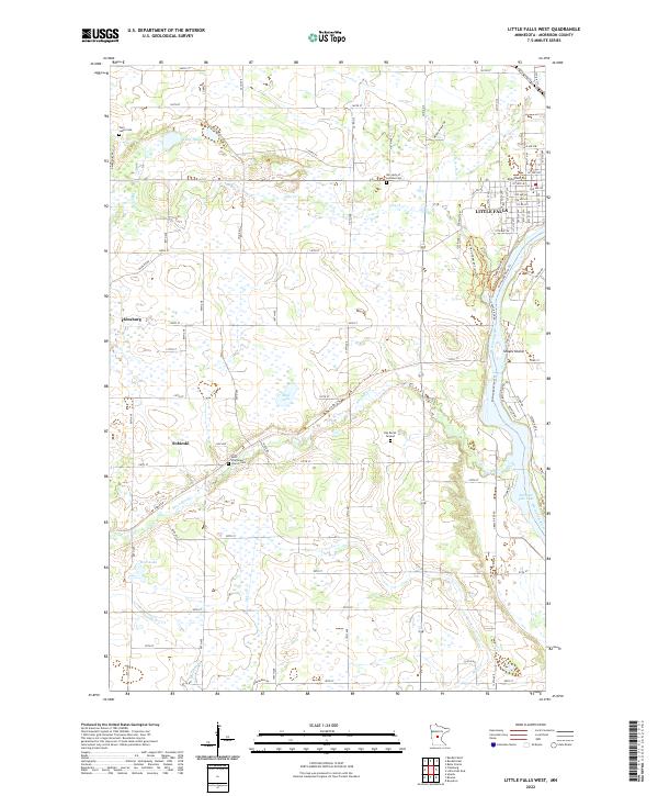
2022 Little Falls West
Morrison County, MN
2022 Motley SE
Morrison County, MN
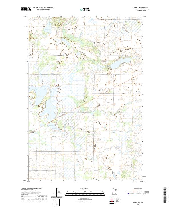
2022 Pierz Lake
Morrison County, MN
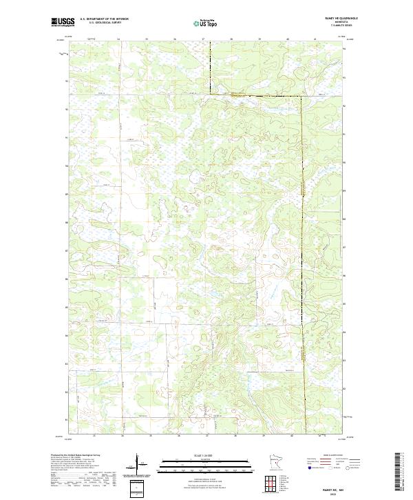
2022 Ramey NE
Morrison County, MN
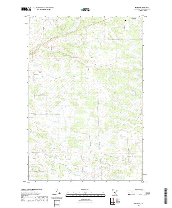
2022 Ramey NW
Morrison County, MN
2022 Randall East
Morrison County, MN
2022 Randall West
Morrison County, MN