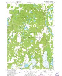
1956 Map of Belle Prairie NW
USGS Topo · Published 1980About this map
Fort Ripley Military Reservation and Camp Ripley Military Reservation dominate this section of central Minnesota, where the landscape is defined by the sharp bend of the Mississippi River. This mid-century survey illustrates the intense concentration of glacial lakes and wetlands west of the river, including Lake Alexander, Fosdick Lake, and the cluster around Lake Ericson. Local governance and education are marked by the Town Hall and School No 47, while a Lookout Tower stands watch over the dense woods of the reservation territory. The road network within the military zones features distinctive names such as Ledo Road, Normandy Road, and Gettysburg Road, reflecting a landscape dedicated to training and maneuvers. Waterways like Broken Bow Creek and Muskrat Lake provide natural drainage toward the Mississippi, where Pipe Island sits near the eastern boundary.
Find a feature on this map
48 named features on this map. Tap any name to fly to it.
Don’t see what you’re looking for? This feature index may not catch every label — zoom into the map to look around manually.
Map Details
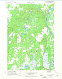
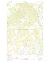
Editions of this 1956 Belle Prairie NW Map
4 editions found
Other maps of this area

1916 · Pillager
USGS Topo · 1:62,500

1919 · Pillager
USGS Topo · 1:62,500

1948 · Belle Prairie
USGS Topo · 1:62,500

1948 · Cushing
USGS Topo · 1:62,500

1950 · Belle Prairie
USGS Topo · 1:62,500

1950 · Cushing
USGS Topo · 1:62,500

1953 · Brainerd
USGS Topo · 1:250,000

1954 · Baxter
USGS Topo · 1:24,000

1954 · Pillager
USGS Topo · 1:24,000
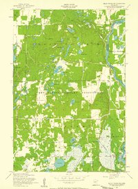
1956 · Belle Prairie NW
USGS Topo · 1:24,000