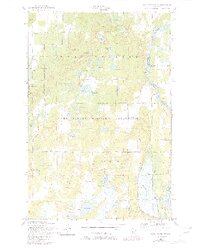
1956 Map of Belle Prairie NW
USGS Topo · Published 1980About this map
Camp Ripley Military Reservation dominates the central and southern portions of this landscape, its presence defined by an extensive network of tactical roads like Normandy Road and Cody Road. Along the eastern boundary, the Mississippi River flows past Pipe Island and the grounds of Fort Ripley, marking the border between Morrison and Crow Wing Counties.
Find a feature on this map
47 named features on this map. Tap any name to fly to it.
Don’t see what you’re looking for? This feature index may not catch every label — zoom into the map to look around manually.
Map Details
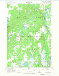
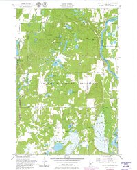
Editions of this 1956 Belle Prairie NW Map
4 editions found
Other maps of this area

1916 · Pillager
USGS Topo · 1:62,500

1919 · Pillager
USGS Topo · 1:62,500

1948 · Belle Prairie
USGS Topo · 1:62,500

1948 · Cushing
USGS Topo · 1:62,500

1950 · Belle Prairie
USGS Topo · 1:62,500

1950 · Cushing
USGS Topo · 1:62,500

1953 · Brainerd
USGS Topo · 1:250,000

1954 · Baxter
USGS Topo · 1:24,000

1954 · Pillager
USGS Topo · 1:24,000
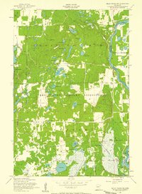
1956 · Belle Prairie NW
USGS Topo · 1:24,000