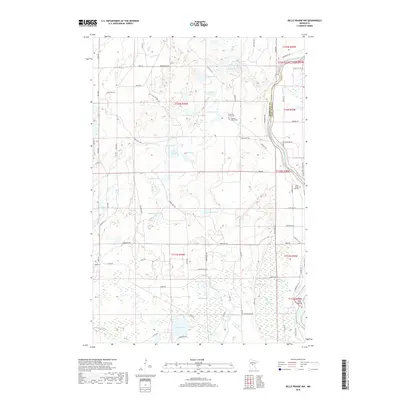
2019 Map of Belle Prairie NW
USGS Topo · Published 2019About this map
The Mississippi River forms a major geographic boundary in this central Minnesota landscape, dividing Morrison and Crow Wing counties. This 2019 survey documents a region characterized by a high density of small water bodies and wetlands, including Muskrat Lake, Coon Stump Lake, and Prentice Pond. The presence of the Camp Ripley Mounds and Hole in Day Marsh points to the area's deeper indigenous and environmental history. Genealogy researchers may find specific value in the identification of localized burial sites such as the Stroming Grave Site and the Lightner Baby Grave located near Cockburn Lake. The road network, including names like Fondouk Trail and San Vittore Trl, reflects the tactical and varied history of the neighboring military reservation, while Pipe Island sits as a distinct landmark within the river's channel.
Find a feature on this map
76 named features on this map. Tap any name to fly to it.
Don’t see what you’re looking for? This feature index may not catch every label — zoom into the map to look around manually.
Map Details
Editions of this 2019 Belle Prairie NW Map
This is the sole edition of this map. No revisions or reprints were ever made.
Other maps of this area

1916 · Pillager
USGS Topo · 1:62,500

1919 · Pillager
USGS Topo · 1:62,500

1948 · Belle Prairie
USGS Topo · 1:62,500

1948 · Cushing
USGS Topo · 1:62,500

1950 · Belle Prairie
USGS Topo · 1:62,500

1950 · Cushing
USGS Topo · 1:62,500

1953 · Brainerd
USGS Topo · 1:250,000

1954 · Baxter
USGS Topo · 1:24,000

1954 · Pillager
USGS Topo · 1:24,000
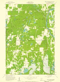
1956 · Belle Prairie NW
USGS Topo · 1:24,000