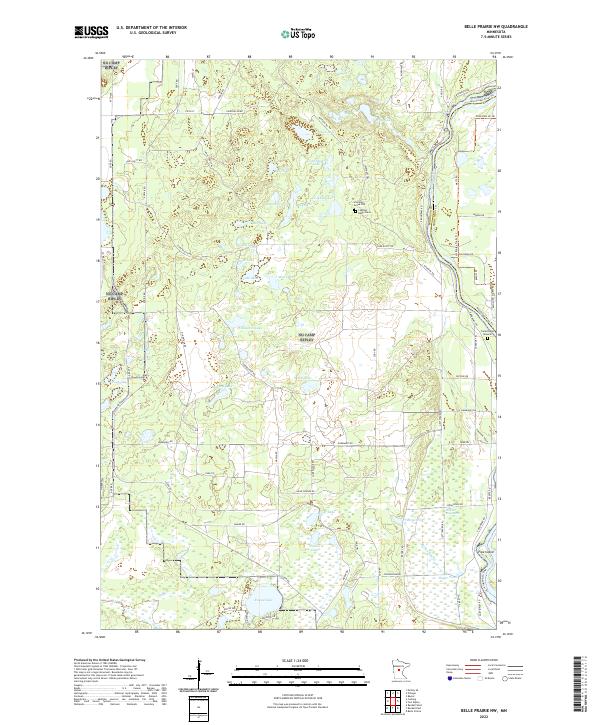
2022 Map of Belle Prairie NW
USGS Topo · Published 2022About this map
The Mississippi River defines the eastern boundary of this central Minnesota landscape, where the borders of Morrison and Crow Wing Counties converge. The area is dense with glacial water bodies, from the larger Round Lake and Frog Lake to smaller basins like Coon Stump Lake, Bong Lake, and Muskrat Lake. These wetlands and marshes, including the named Hole-in-Day Marsh, create a fragmented terrain interspersed with small islands such as Pipe Island.
Find a feature on this map
81 named features on this map. Tap any name to fly to it.
Don’t see what you’re looking for? This feature index may not catch every label — zoom into the map to look around manually.
Map Details
Editions of this 2022 Belle Prairie NW Map
This is the sole edition of this map. No revisions or reprints were ever made.
Other maps of this area

1916 · Pillager
USGS Topo · 1:62,500

1919 · Pillager
USGS Topo · 1:62,500

1948 · Belle Prairie
USGS Topo · 1:62,500

1948 · Cushing
USGS Topo · 1:62,500

1950 · Belle Prairie
USGS Topo · 1:62,500

1950 · Cushing
USGS Topo · 1:62,500

1953 · Brainerd
USGS Topo · 1:250,000

1954 · Baxter
USGS Topo · 1:24,000

1954 · Pillager
USGS Topo · 1:24,000
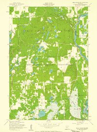
1956 · Belle Prairie NW
USGS Topo · 1:24,000