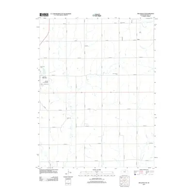
2012 Map of Belleville SE
USGS Topo · Published 2012About this map
Belleville anchors the northwest corner of this agricultural landscape in Republic County, defined by a rigid grid of section roads and the meandering drainage of Salt Cr. The township layout remains dominated by large-scale farming, yet several legacy sites suggest the area's deeper settlement history. Scattered across the prairie are quiet markers of early community life, including Pleasant Hill Cem and Saint Katherine Cem. To the northeast, the small settlement of Tabor sits near its namesake Tabor Cem and the waters of S Fork Mill Cr. Modern utility and recreation are represented by the Belleville Wastewater Treatment Facility and the Belleville High Banks racing grounds. The drainage patterns of Coal Cr and East Cr cut through the geometric road network, illustrating how the natural topography of north-central Kansas persists despite a century of systematic land division.
Find a feature on this map
42 named features on this map. Tap any name to fly to it.
Don’t see what you’re looking for? This feature index may not catch every label — zoom into the map to look around manually.
Map Details
Editions of this 2012 Belleville SE Map
This is the sole edition of this map. No revisions or reprints were ever made.
Other maps of this area

1892 · Concordia
USGS Topo · 1:125,000

1893 · Washington
USGS Topo · 1:125,000

1955 · Manhattan
USGS Topo · 1:250,000

1956 · Manhattan
USGS Topo · 1:250,000

1957 · Manhattan
USGS Topo · 1:250,000

1965 · Wayne
USGS Topo · 1:24,000

1965 · Concordia NW
USGS Topo · 1:24,000

1965 · Agenda
USGS Topo · 1:24,000
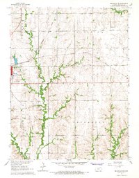
1966 · Belleville SE
USGS Topo · 1:24,000
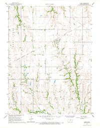
1966 · Narka
USGS Topo · 1:24,000