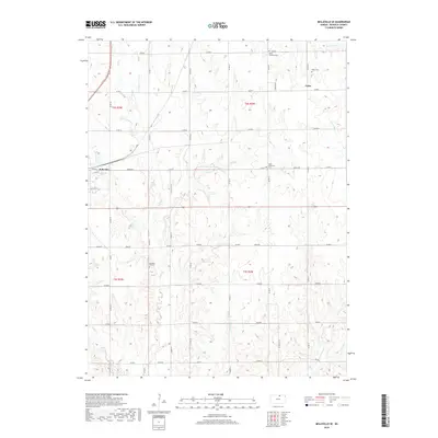
2018 Map of Belleville SE
USGS Topo · Published 2018About this map
Belleville anchors the northwestern corner of this Republic County landscape, where the town grid meets a sprawling network of agricultural section roads. The terrain is defined by the branching tributaries of the Republican River watershed, including the winding paths of Salt Cr and Coal Cr. Outside of the primary settlement, the map reveals a rural social geography centered around crossroads and small community focal points like Tabor. Genealogists will find significant value in the dispersed burial sites that mark the history of local families and congregations, such as Pleasant Hill Cem, Saint Katherine Cem, and Saint Georges Cem. The land is meticulously partitioned into townships including t2s r2w and t3s r3w, illustrating the enduring influence of the Public Land Survey System on the Kansas plains.
Find a feature on this map
30 named features on this map. Tap any name to fly to it.
Don’t see what you’re looking for? This feature index may not catch every label — zoom into the map to look around manually.
Map Details
Editions of this 2018 Belleville SE Map
This is the sole edition of this map. No revisions or reprints were ever made.
Other maps of this area

1892 · Concordia
USGS Topo · 1:125,000

1893 · Washington
USGS Topo · 1:125,000

1955 · Manhattan
USGS Topo · 1:250,000

1956 · Manhattan
USGS Topo · 1:250,000

1957 · Manhattan
USGS Topo · 1:250,000

1965 · Wayne
USGS Topo · 1:24,000

1965 · Concordia NW
USGS Topo · 1:24,000

1965 · Agenda
USGS Topo · 1:24,000
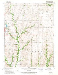
1966 · Belleville SE
USGS Topo · 1:24,000
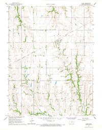
1966 · Narka
USGS Topo · 1:24,000