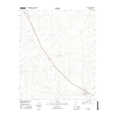
2016 Map of Bellevue
USGS Topo · Published 2016About this map
Bellevue anchors the southeastern corner of this Clay County landscape, where the local street grid including Ross St and Franklin St meets the major transportation corridor of Highway 287. The terrain is defined by the winding course of the E Fork Little Wichita River and its various tributaries such as Smith Cr and Canyon Cr. This 2016 survey illustrates a rural environment shaped by ranching and water management, featuring Dickson Lake and Hapgood Lake. For those tracing local heritage, the Cullers Cem serves as a significant landmark in the northwest. The map documents a network of named rural routes, including Lone Star Rd, W Hapgood Ln, and E Scaling Ranch Rd, which provide access to the dispersed homesteads and acreage across the Texas plains.
Find a feature on this map
29 named features on this map. Tap any name to fly to it.
Don’t see what you’re looking for? This feature index may not catch every label — zoom into the map to look around manually.
Map Details
Editions of this 2016 Bellevue Map
This is the sole edition of this map. No revisions or reprints were ever made.
Other maps of this area

1905 · Montague
USGS Topo · 1:125,000

1954 · Sherman
USGS Topo · 1:250,000

1954 · Wichita Falls
USGS Topo · 1:250,000

1956 · Henrietta
USGS Topo · 1:62,500

1958 · Wichita Falls
USGS Topo · 1:250,000

1958 · Sherman
USGS Topo · 1:250,000

1961 · Stoneburg
USGS Topo · 1:24,000

1961 · Brushy Mound
USGS Topo · 1:24,000
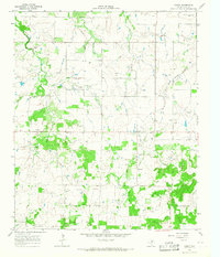
1963 · Vashti
USGS Topo · 1:24,000
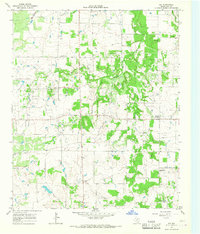
1964 · Joy
USGS Topo · 1:24,000