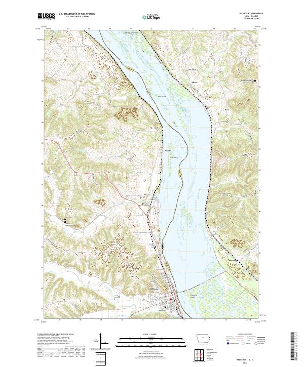
2022 Map of Bellevue
USGS Topo · Published 2022About this map
The Mississippi River defines this landscape where the borders of Iowa and Illinois meet, creating a complex network of islands and bluffs. On the Iowa side, Bellevue is the primary center of activity, with its residential streets like Spring St and Jefferson St organized against the riverbank. The surrounding terrain is heavily marked by small rural cemeteries and family burial plots, such as Daugherty Farm Cem and the Spruce Creek Cem, which reflect the early settlement patterns of the region's agricultural families.
Find a feature on this map
87 named features on this map. Tap any name to fly to it.
Don’t see what you’re looking for? This feature index may not catch every label — zoom into the map to look around manually.
Map Details
Editions of this 2022 Bellevue Map
This is the sole edition of this map. No revisions or reprints were ever made.
Other maps of this area
1891 · Maquoketa
USGS Topo · 1:62,500
1901 · Peosta
USGS Topo · 1:125,000
1911 · Galena
USGS Topo · 1:62,500
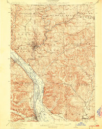
1913 · Galena
USGS Topo · 1:62,500
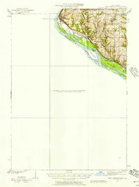
1935 · East Dubuque
USGS Topo · 1:62,500
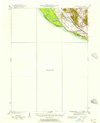
1935 · Miles
USGS Topo · 1:62,500
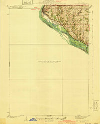
1940 · East Dubuque
USGS Topo · 1:62,500
1941 · Miles
USGS Topo · 1:62,500
1953 · Green Island
USGS Topo · 1:24,000
1955 · Menominee
USGS Topo · 1:24,000