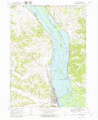
1968 Map of Bellevue
USGS Topo · Published 1979About this map
Bellevue and the surrounding river bluffs are defined by the complex hydrology of the Mississippi River and its intricate network of sloughs and islands. This late-1960s landscape showcases the massive Upper Mississippi River Wild Life and Fish Refuge and the industrial footprint of the Savanna Army Depot along the Illinois shore. The river’s importance to regional transport is visible through the Chicago Milwaukee St Paul and Pacific railroad hugging the western bank, and the prominent Lock and Dam No 12 near the town center.
Find a feature on this map
53 named features on this map. Tap any name to fly to it.
Don’t see what you’re looking for? This feature index may not catch every label — zoom into the map to look around manually.
Map Details
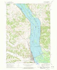
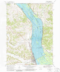
Editions of this 1968 Bellevue Map
3 editions found
Other maps of this area

1891 · Maquoketa
USGS Topo · 1:62,500

1901 · Peosta
USGS Topo · 1:125,000

1911 · Galena
USGS Topo · 1:62,500

1913 · Galena
USGS Topo · 1:62,500

1935 · East Dubuque
USGS Topo · 1:62,500

1935 · Miles
USGS Topo · 1:62,500

1940 · East Dubuque
USGS Topo · 1:62,500

1941 · Miles
USGS Topo · 1:62,500

1953 · Green Island
USGS Topo · 1:24,000

1955 · Menominee
USGS Topo · 1:24,000