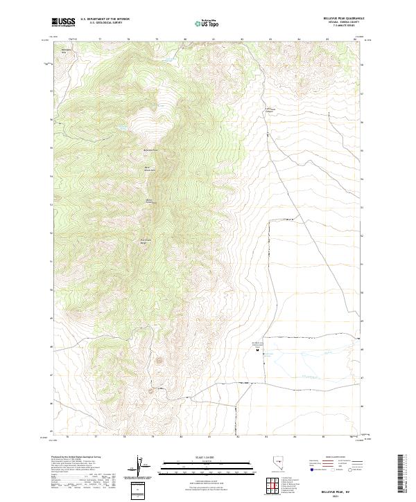
2021 Map of Bellevue Peak
USGS Topo · Published 2021About this map
The Fish Creek Range anchors this high-elevation landscape in the heart of central Nevada. Rising to summits like Bellevue Peak and White Cloud Peak, the terrain is defined by its series of seasonal water sources and canyons, including the winding Lamoreux Canyon and several isolated springs. A significant point of local history is found at the Ann Marie Long Fenstermaker Grave, a lone landmark located near Fish Creek Springs in the eastern flats. The map documents a landscape where life traditionally clustered around these precious water points, such as Marteletti Spring and Rock Spring, which served as vital stops in the arid Mahogany Hills region. Downslope, the convergence of Fish Cr and S Fork Fish Cr illustrates the drainage patterns typical of this part of Eureka County.
Find a feature on this map
17 named features on this map. Tap any name to fly to it.
Don’t see what you’re looking for? This feature index may not catch every label — zoom into the map to look around manually.
Map Details
Editions of this 2021 Bellevue Peak Map
This is the sole edition of this map. No revisions or reprints were ever made.
Other maps of this area

1926 · Roberts Mountains
USGS Topo · 1:250,000

1929 · Roberts Mountains
USGS Topo · 1:250,000

1953 · Pinto Summit
USGS Topo · 1:62,500

1955 · Millett
USGS Topo · 1:250,000

1956 · Bellevue Peak
USGS Topo · 1:62,500

1956 · Cockalorum Wash
USGS Topo · 1:62,500

1956 · Ely
USGS Topo · 1:250,000

1959 · Ely
USGS Topo · 1:250,000

1959 · Millett
USGS Topo · 1:250,000

1963 · Ely
USGS Topo · 1:250,000