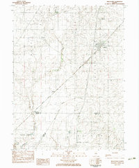
1983 Map of Bellflower
USGS Topo · Published 1983About this map
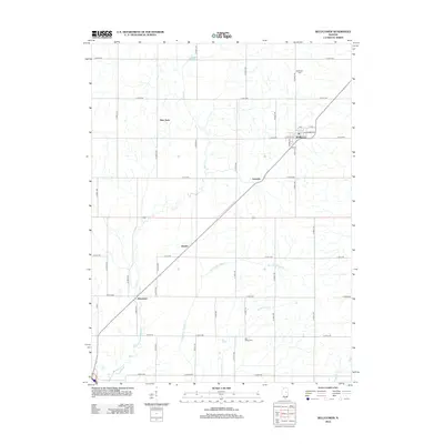
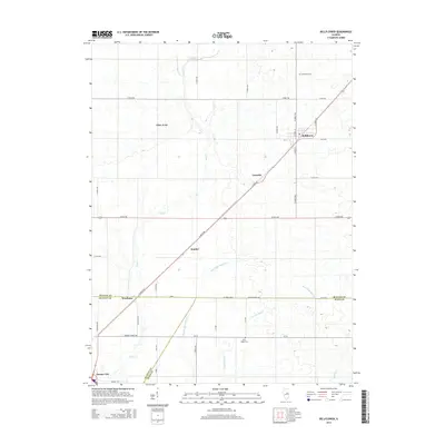
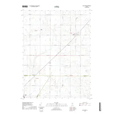
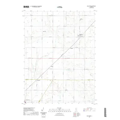
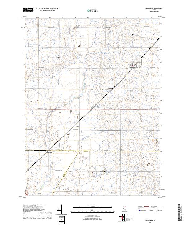
Bellflower serves as the primary hub of activity in this 1980s landscape, where the Illinois Central Gulf railroad cuts a diagonal path through the prairie. This corridor connects several small rail-stop settlements including Laurette, Kumler, and Weedman, reflecting a late 20th-century agricultural economy still tethered to the iron rail. The terrain is defined by the subtle rise of the Blue Ridge and the winding course of Salt Creek, which drains the surrounding farmlands. Smaller hamlets like Glen Avon and Easterbrook dot the northern reaches, while local education is anchored at the High Sch in the main township. For genealogists, the map provides precise locations for the Bellflower Cem and Blue Ridge Cem, alongside various industrial marks such as a Gravel Pit near the creek.
Find a feature on this map
21 named features on this map. Tap any name to fly to it.
Don’t see what you’re looking for? This feature index may not catch every label — zoom into the map to look around manually.
Map Details
Editions of this 1983 Bellflower Map
This is the sole edition of this map. No revisions or reprints were ever made.
Historical Maps of Farmer City Through Time
6 maps found