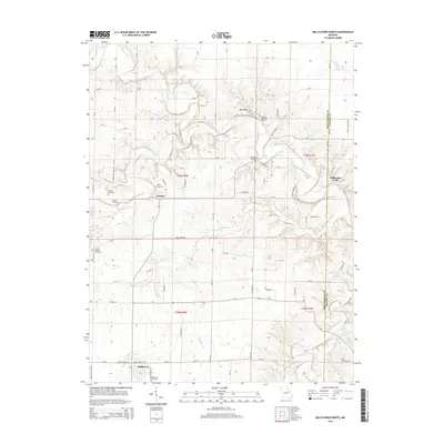
2014 Map of Bellflower North
USGS Topo · Published 2014About this map
The West Fork Cuivre River and its numerous tributaries, including Elkhorn Cr and Brush Cr, dominate this section of the northern Missouri landscape. This area, spanning the Montgomery and Lincoln County border, is defined by small agricultural settlements and a network of rural roads such as Brush Creek Rd and Rock Rd. The presence of numerous family and community burial sites, such as Mabry Cemetery, Berger Cemetery, and Pontlow Cemetery, provides a wealth of information for genealogists and local historians. To the north, the topographic feature known as the Backbone rises above Fulcher Hollow, while the southern portion of the quadrangle shows the residential layout of Bellflower. The inclusion of Stillhouse Ford on the river suggests a crossing point with deep local roots, likely predating modern bridges.
Find a feature on this map
83 named features on this map. Tap any name to fly to it.
Don’t see what you’re looking for? This feature index may not catch every label — zoom into the map to look around manually.
Map Details
Editions of this 2014 Bellflower North Map
This is the sole edition of this map. No revisions or reprints were ever made.
Other maps of this area

1890 · Louisiana
USGS Topo · 1:125,000

1890 · Hermann
USGS Topo · 1:125,000

1937 · Silex
USGS Topo · 1:62,500

1939 · Silex
USGS Topo · 1:48,000

1942 · New Florence
USGS Topo · 1:62,500

1942 · Bellflower
USGS Topo · 1:62,500

1943 · Warrenton
USGS Topo · 1:62,500

1945 · Bellflower
USGS Topo · 1:62,500

1945 · Warrenton
USGS Topo · 1:62,500

1946 · New Florence
USGS Topo · 1:62,500