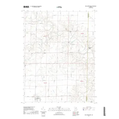
2017 Map of Bellflower North
USGS Topo · Published 2017About this map
Bellflower anchors the southwestern portion of this landscape, where the street grid is clearly defined amidst the agricultural fields of Montgomery County. To the north, the terrain becomes increasingly dissected by the West Fork Cuivre River and its numerous tributaries like Milligan Br and Brush Cr. A prominent ridge known as the Backbone dominates the central eastern section, overlooking Fulcher Hollow. This area is characterized by a high concentration of small family and community burial sites, including the Mabry Cem, Pontlow Cem, Berger Cem, and Macedonia Cem. The presence of Stillhouse Ford on the eastern edge indicates a historical crossing point of the river, while the small settlement of Gamma serves as a rural junction. These features together reveal a well-established rural infrastructure of family farms and local institutions maintained well into the late twentieth century.
Find a feature on this map
90 named features on this map. Tap any name to fly to it.
Don’t see what you’re looking for? This feature index may not catch every label — zoom into the map to look around manually.
Map Details
Editions of this 2017 Bellflower North Map
This is the sole edition of this map. No revisions or reprints were ever made.
Other maps of this area

1890 · Louisiana
USGS Topo · 1:125,000

1890 · Hermann
USGS Topo · 1:125,000

1937 · Silex
USGS Topo · 1:62,500

1939 · Silex
USGS Topo · 1:48,000

1942 · New Florence
USGS Topo · 1:62,500

1942 · Bellflower
USGS Topo · 1:62,500

1943 · Warrenton
USGS Topo · 1:62,500

1945 · Bellflower
USGS Topo · 1:62,500

1945 · Warrenton
USGS Topo · 1:62,500

1946 · New Florence
USGS Topo · 1:62,500