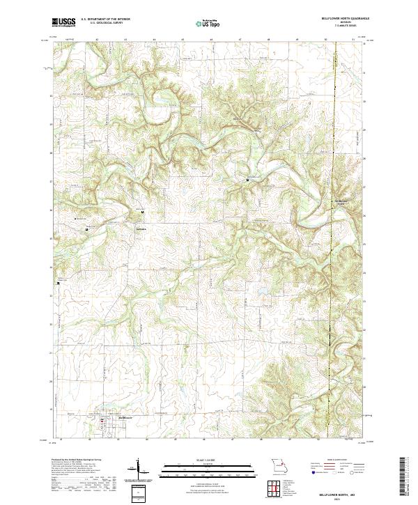
2021 Map of Bellflower North
USGS Topo · Published 2021About this map
Bellflower and the small settlement of Gamma anchor this agricultural landscape along the border of Montgomery and Lincoln Counties. The geography is defined by the winding course of the West Fork Cuivre River and its numerous tributaries, including Elkhorn Cr, Long Br, and Brush Cr. The river valley features distinctive terrain markers such as the Backbone and Fulcher Hollow, which demonstrate the sharp relief created by the drainage network.
Find a feature on this map
83 named features on this map. Tap any name to fly to it.
Don’t see what you’re looking for? This feature index may not catch every label — zoom into the map to look around manually.
Map Details
Editions of this 2021 Bellflower North Map
This is the sole edition of this map. No revisions or reprints were ever made.
Other maps of this area

1890 · Louisiana
USGS Topo · 1:125,000

1890 · Hermann
USGS Topo · 1:125,000

1937 · Silex
USGS Topo · 1:62,500

1939 · Silex
USGS Topo · 1:48,000

1942 · New Florence
USGS Topo · 1:62,500

1942 · Bellflower
USGS Topo · 1:62,500

1943 · Warrenton
USGS Topo · 1:62,500

1945 · Bellflower
USGS Topo · 1:62,500

1945 · Warrenton
USGS Topo · 1:62,500

1946 · New Florence
USGS Topo · 1:62,500