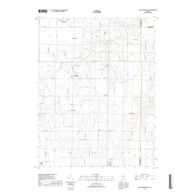
2017 Map of Bellflower South
USGS Topo · Published 2017About this map
Bellflower and the surrounding rural landscapes of Montgomery and Warren counties are defined by a network of creek branches and local burial grounds. The settlement of Prices Branch serves as a central landmark, situated near its namesake Prices Branch waterway and the Prices Branch Cem. This region transitions from the agricultural plateaus down into the drainage basins of Bear Creek and Little Bear Cr, where the topography becomes more varied and wooded.
Find a feature on this map
90 named features on this map. Tap any name to fly to it.
Don’t see what you’re looking for? This feature index may not catch every label — zoom into the map to look around manually.
Map Details
Editions of this 2017 Bellflower South Map
This is the sole edition of this map. No revisions or reprints were ever made.
Other maps of this area

1890 · Louisiana
USGS Topo · 1:125,000

1890 · Hermann
USGS Topo · 1:125,000

1937 · Silex
USGS Topo · 1:62,500

1939 · Silex
USGS Topo · 1:48,000

1942 · New Florence
USGS Topo · 1:62,500

1942 · Bellflower
USGS Topo · 1:62,500

1943 · Warrenton
USGS Topo · 1:62,500

1945 · Bellflower
USGS Topo · 1:62,500

1945 · Warrenton
USGS Topo · 1:62,500

1946 · New Florence
USGS Topo · 1:62,500