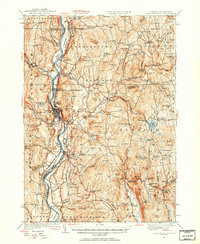
1927 Map of Bellows Falls
USGS Topo · Published 1957About this map
The Connecticut River serves as the central artery for this 1927 survey, dividing the village of Bellows Falls from the New Hampshire side. The landscape is defined by its industrial and social hubs, from the Boston and Maine Railroad lines tracing the riverbank to the storied Dodge Tavern and the Kurn Hattin Home. The map captures a high density of rural education and industry during the late 1920s, evidenced by numerous schoolhouses like Mica Mine Sch and Fine Bank Sch, alongside industrial sites such as Mill Hollow and Graves Pit. Settlement patterns follow the river and local brooks, with clusters at Walpole, Charlestown, and Alstead Center. The topography is particularly detailed around Mt Kilburn and the many named hills, such as Beryl Mtn and Osgood Ledge, which overlook the interconnected network of ponds and pools including Vilas Pool and Warren Lake.
Find a feature on this map
109 named features on this map. Tap any name to fly to it.
Don’t see what you’re looking for? This feature index may not catch every label — zoom into the map to look around manually.
Map Details
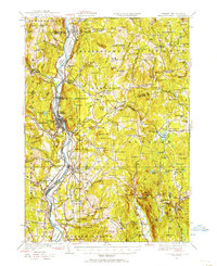
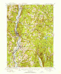
Editions of this 1927 Bellows Falls Map
4 editions found
Other maps of this area

1891 · Brattleboro
USGS Topo · 1:62,500

1893 · Brattleboro
USGS Topo · 1:62,500

1898 · Monadnock
USGS Topo · 1:62,500

1898 · Keene
USGS Topo · 1:62,500

1902 · Sunapee
USGS Topo · 1:62,500

1905 · Sunapee
USGS Topo · 1:62,500

1907 · Sunapee
USGS Topo · 1:62,500

1926 · Claremont
USGS Topo · 1:62,500

1927 · Bellows Falls
USGS Topo · 1:48,000

1928 · Ludlow
USGS Topo · 1:48,000