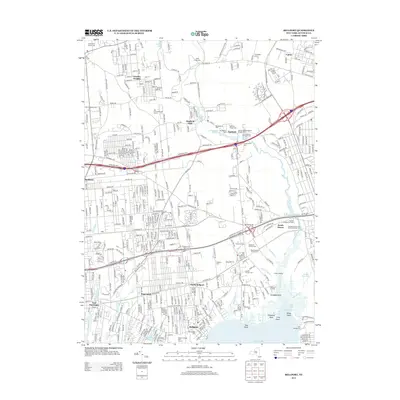
2013 Map of Bellport
USGS Topo · Published 2013About this map
Bellport Bay and the tidal inlets of the South Shore define this portion of Brookhaven, where the Carmans River flows south through South Haven toward the Atlantic. The landscape is a dense network of suburban development and historical transit corridors, including the Long Island Ave and Montauk Hwy. In the village of Yaphank, the map reveals a concentrated cluster of 19th-century sites, such as the Saint Andrew's Episcopal Cem and the Homan and Buckingham Private Cem near Weeks Pond. Further south, the map documents the transition from the residential streets of North Bellport and Hagerman to the marshy points and necks along the coast, including Straddle Point and Fireplace Neck. Researchers will find a high density of private family burial grounds and established churchyards, such as the Samuel Carman and Nathaniel Miller Cem, providing a detailed record of local lineage.
Find a feature on this map
71 named features on this map. Tap any name to fly to it.
Don’t see what you’re looking for? This feature index may not catch every label — zoom into the map to look around manually.
Map Details
Editions of this 2013 Bellport Map
This is the sole edition of this map. No revisions or reprints were ever made.
Other maps of this area

1902 · Setauket
USGS Topo · 1:62,500

1902 · Fire Island
USGS Topo · 1:62,500

1903 · Fire Island
USGS Topo · 1:62,500

1904 · Setauket
USGS Topo · 1:62,500

1904 · Islip
USGS Topo · 1:125,000

1904 · Moriches
USGS Topo · 1:62,500

1919 · Setauket
USGS Topo · 1:62,500

1942 · Islip
USGS Topo · 1:125,000

1947 · Bellport
USGS Topo · 1:24,000

1947 · Howells Point
USGS Topo · 1:24,000